


Darion Carden
I'm actively pursuing a career path in Geosciences that allows me to apply my field experience with my educational and professional training in Geology.
I graduated from the University of Kentucky (UK) in May 2018 with bachelor's degrees in Geological Sciences, as well as GIS/Geography. While at UK, I acquired extensive training in field, laboratory, and computer-based geoscience, as well as skills in project management and communications.
darioncarden@gmail.com
(859) 967-4123
education
University of Kentucky (2013-2018)
B.S. Geography/GIS
B.A. Geological Sciences
I earned 2 Bachelor’s degrees simultaneously starting in Fall 2013 and graduated May 2018. My studies in GIS/Geography and Geology complemented each other and allowed to be gain a more thorough understanding of Earth’s environment and processes. I was an active member in AIPG and served as Treasurer for the Geology Club. I also received 2 scholarships during this time from both the Geology and Geography departments in recognition of my independent research projects.

University of New Hampshire (2019)
ESCI 841: Geochemistry
ESCI 871: Advanced GIS
ESCI 977: Seminar
Earned one semester of graduate level education during my involvement with Dr. Joseph Licciardi's Glacial Geology research group. Studied Geochemistry and advanced applications in GIS while maintaining my role as a Teaching Assistant for an undergraduate-level Geology class.

Professional Experiences
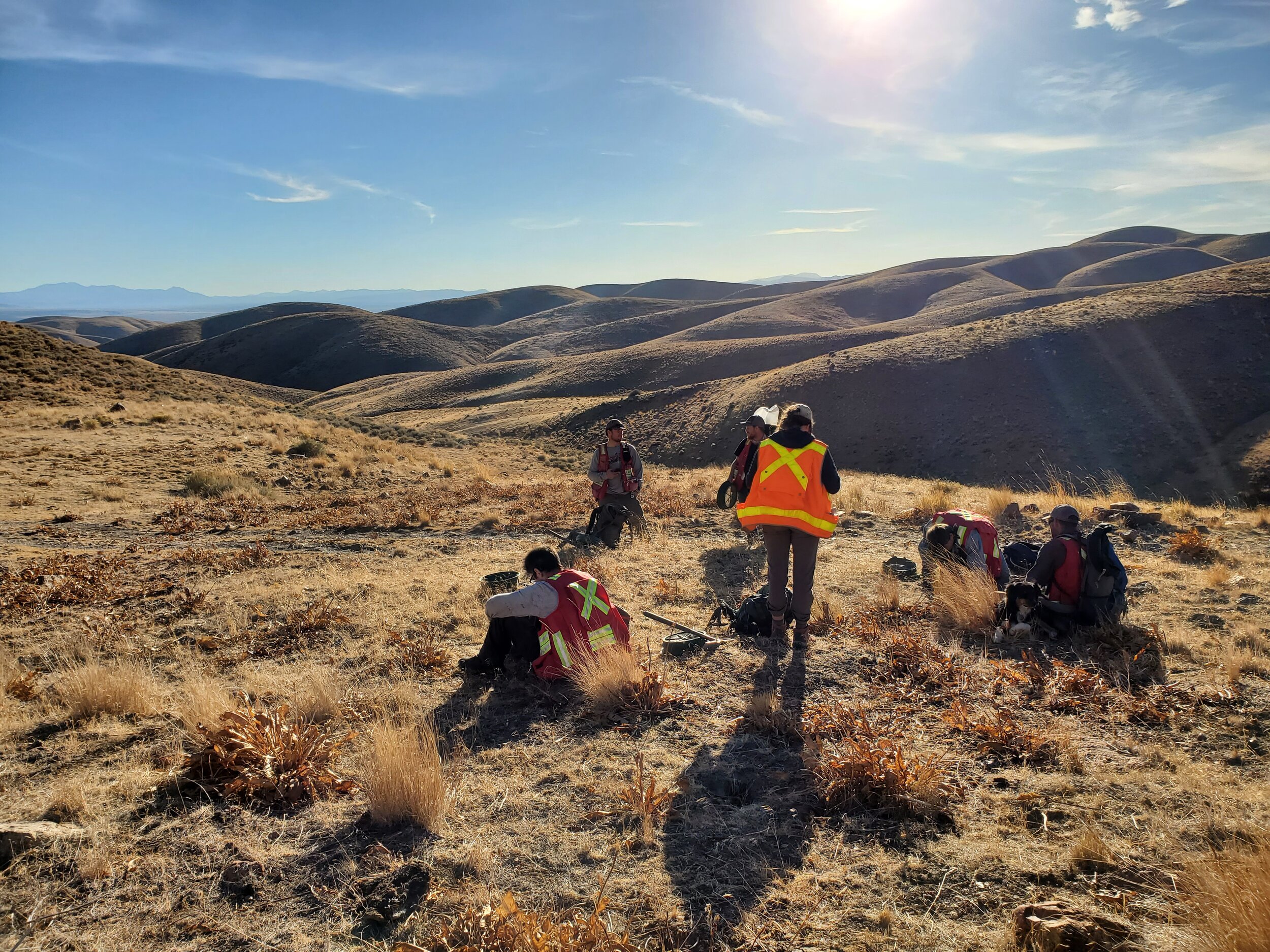
Field Geologist
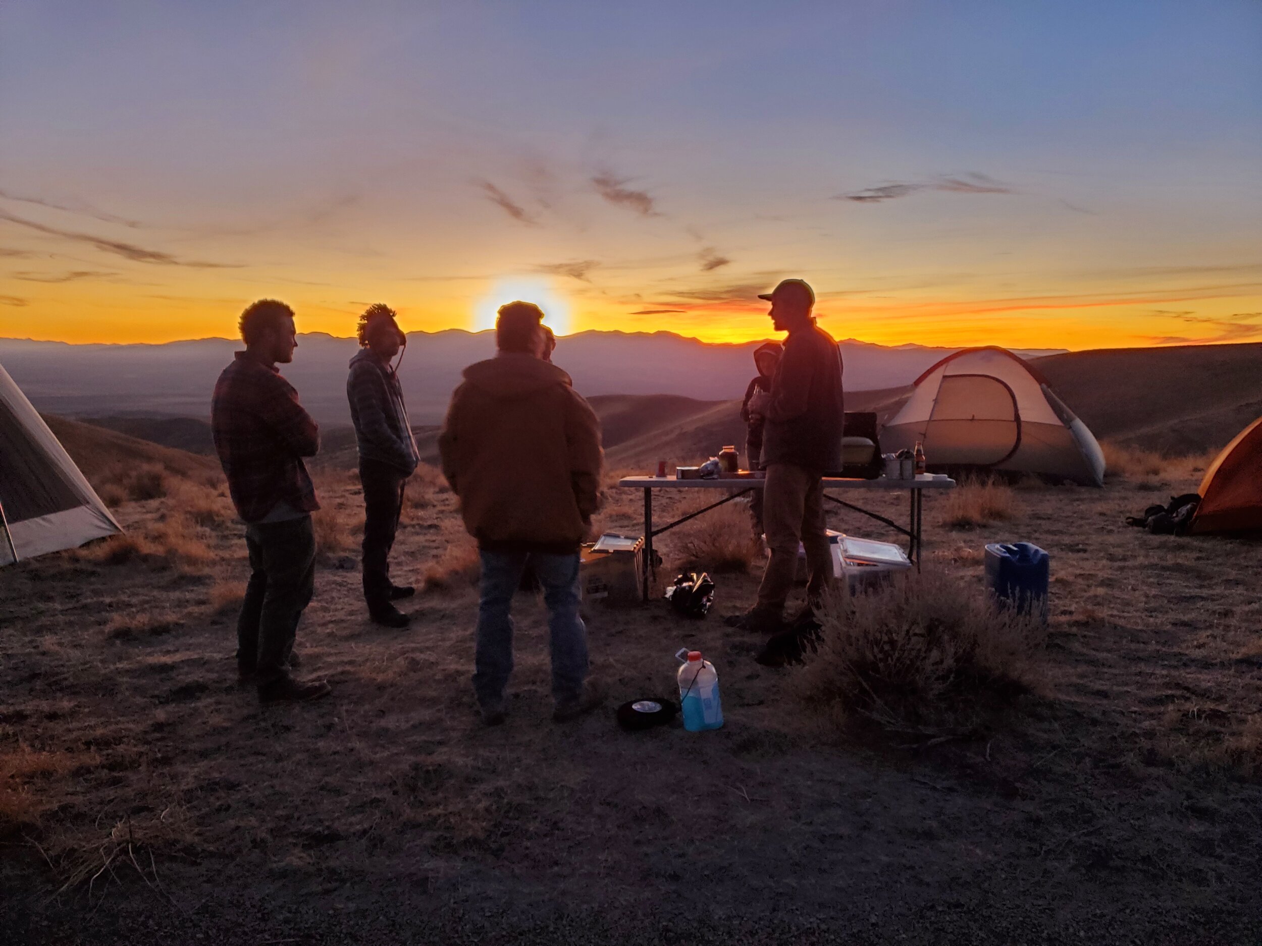
Rangefront Geological (September 2020 - Present)
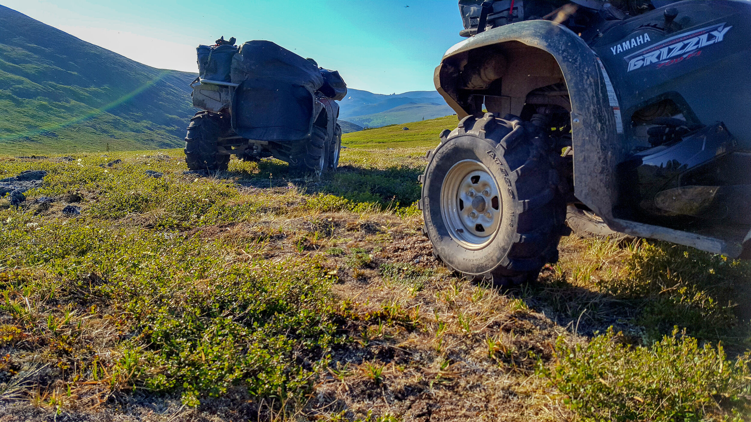
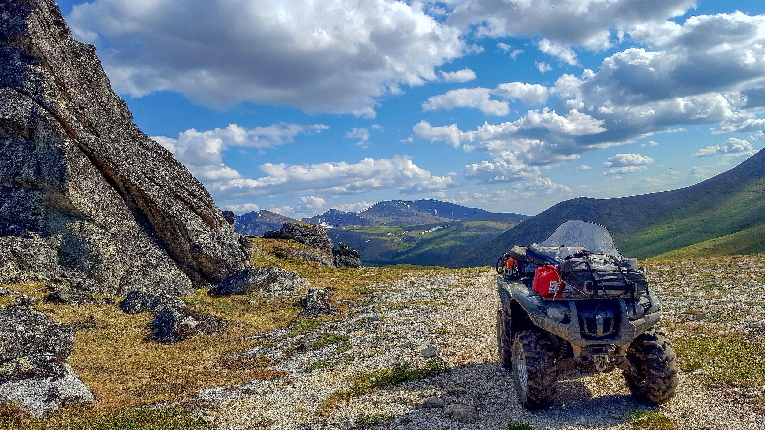
Elko, Nv. - Working with a crew in the remote backcountry for 10+ days at a time navigating with GPS and maps for Mine Claim Staking, systematically collecting soil samples, and building fences to secure old mine shafts and adits. Oversee and report routine site activities as field crew supervisor. Communicate with the client to provide updates on project progress, supported by GPS data and photo documentation. Ensure field work is being done safely and that best management practices are implemented. Prepare daily reports. Often utilize ATVs to gain access to remote sites and work 10-12 hour days in the field carrying >50 lbs. Developed skills in processes related to Exploration Geology and Gold Mine Claim Procedures.


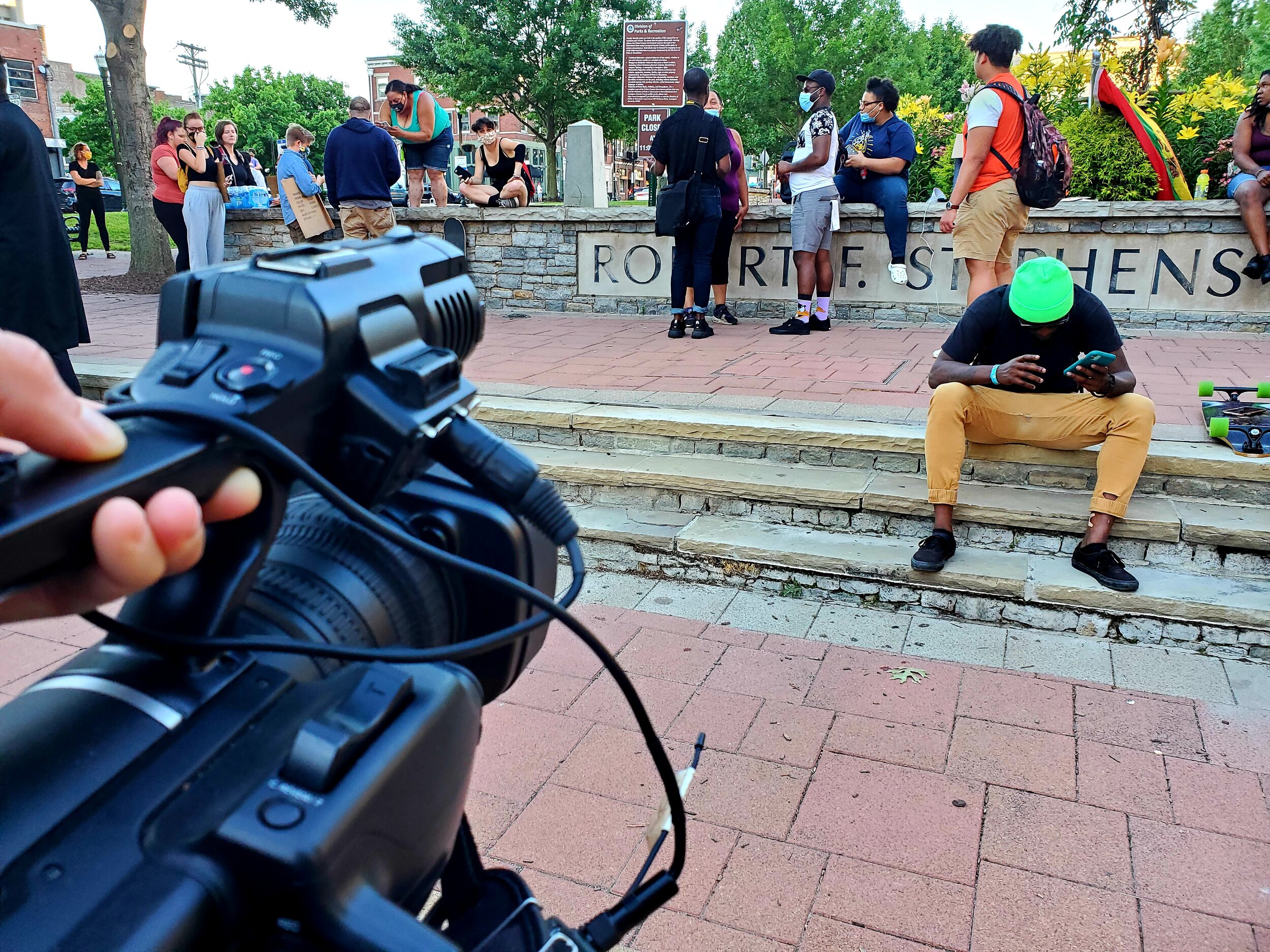
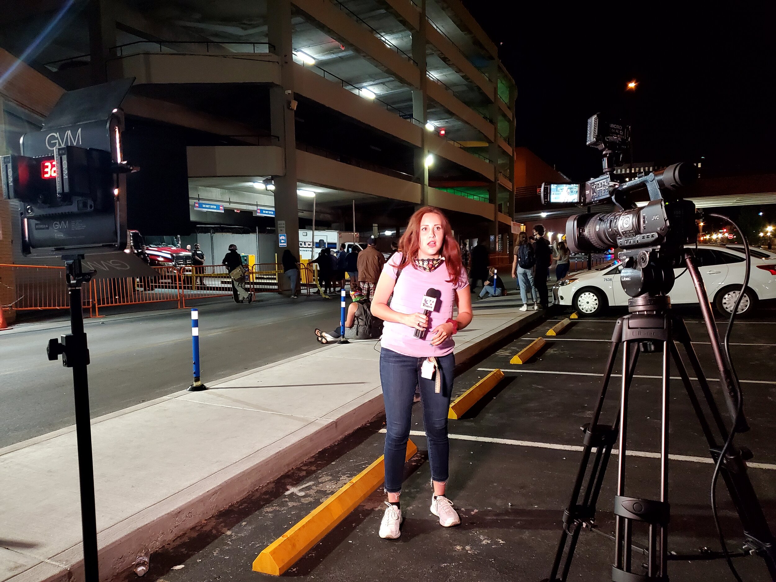
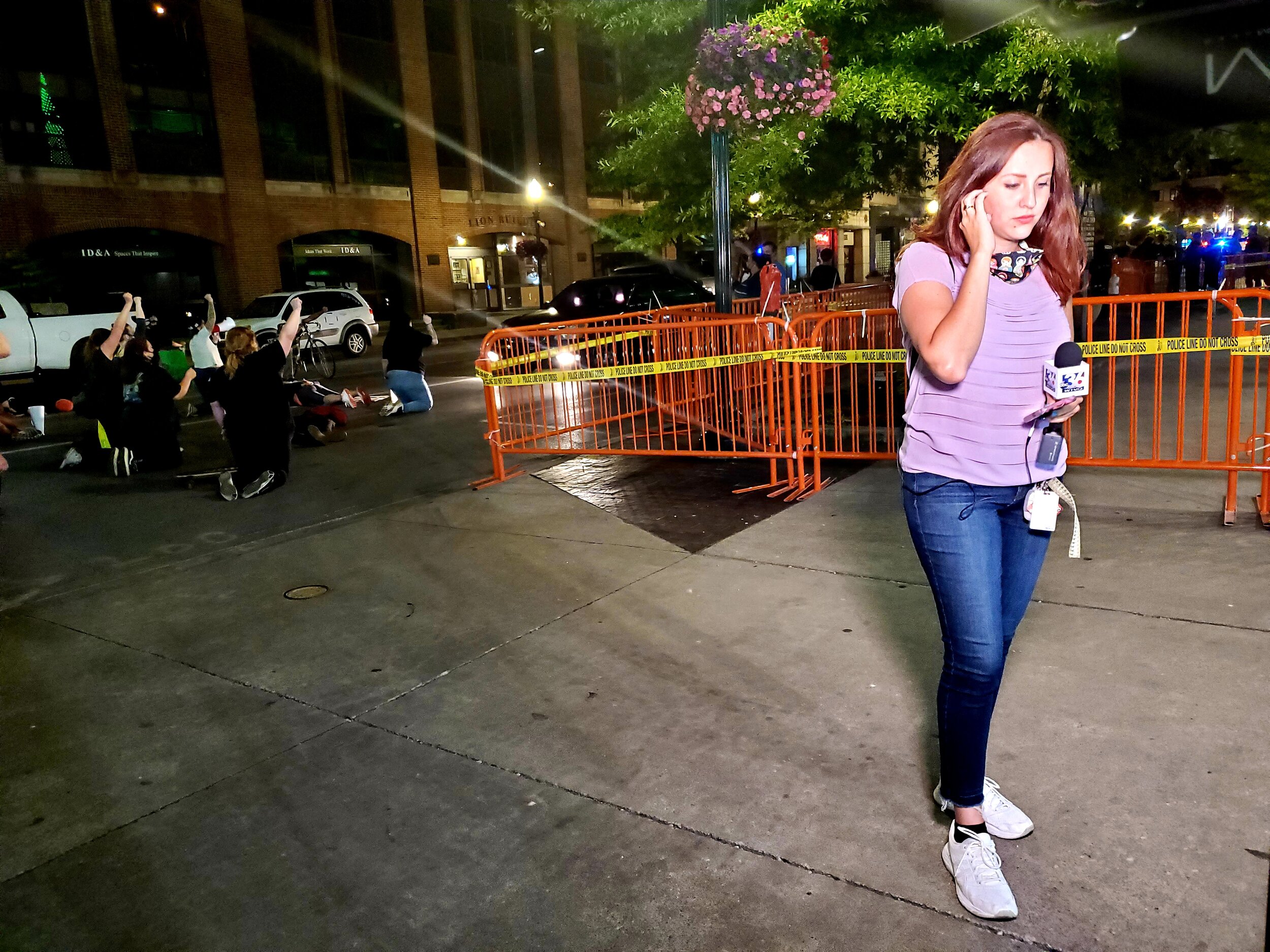
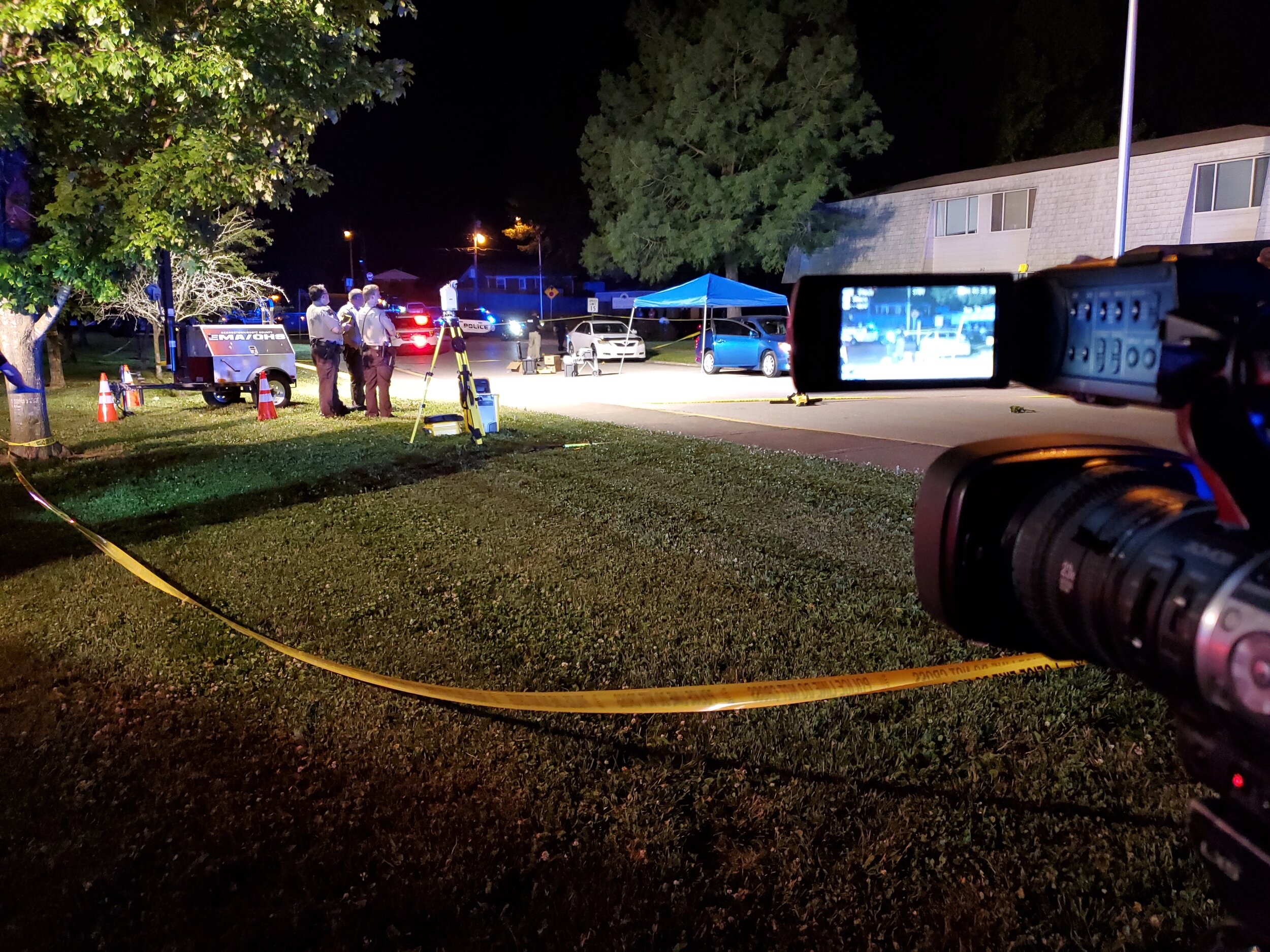
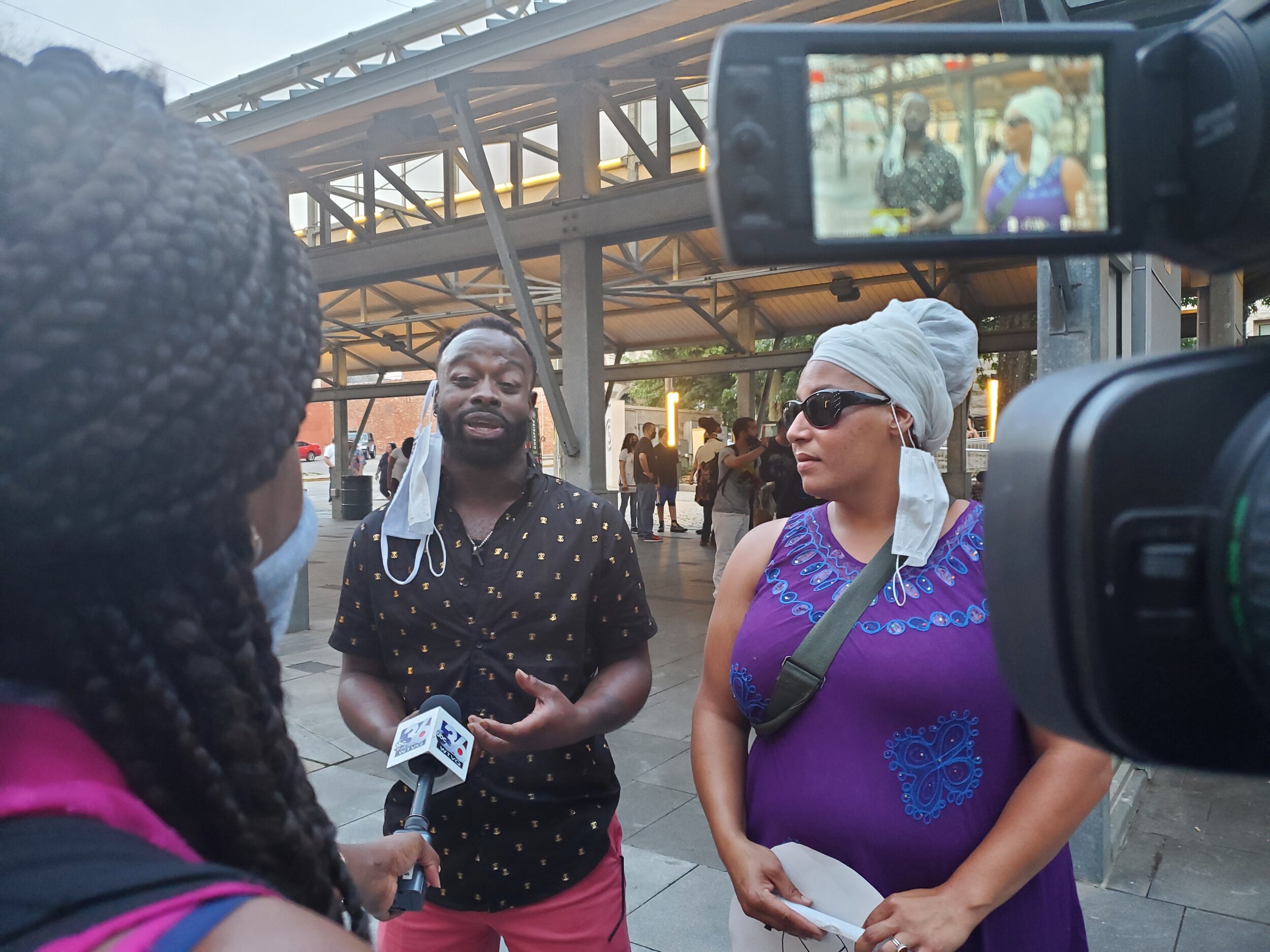
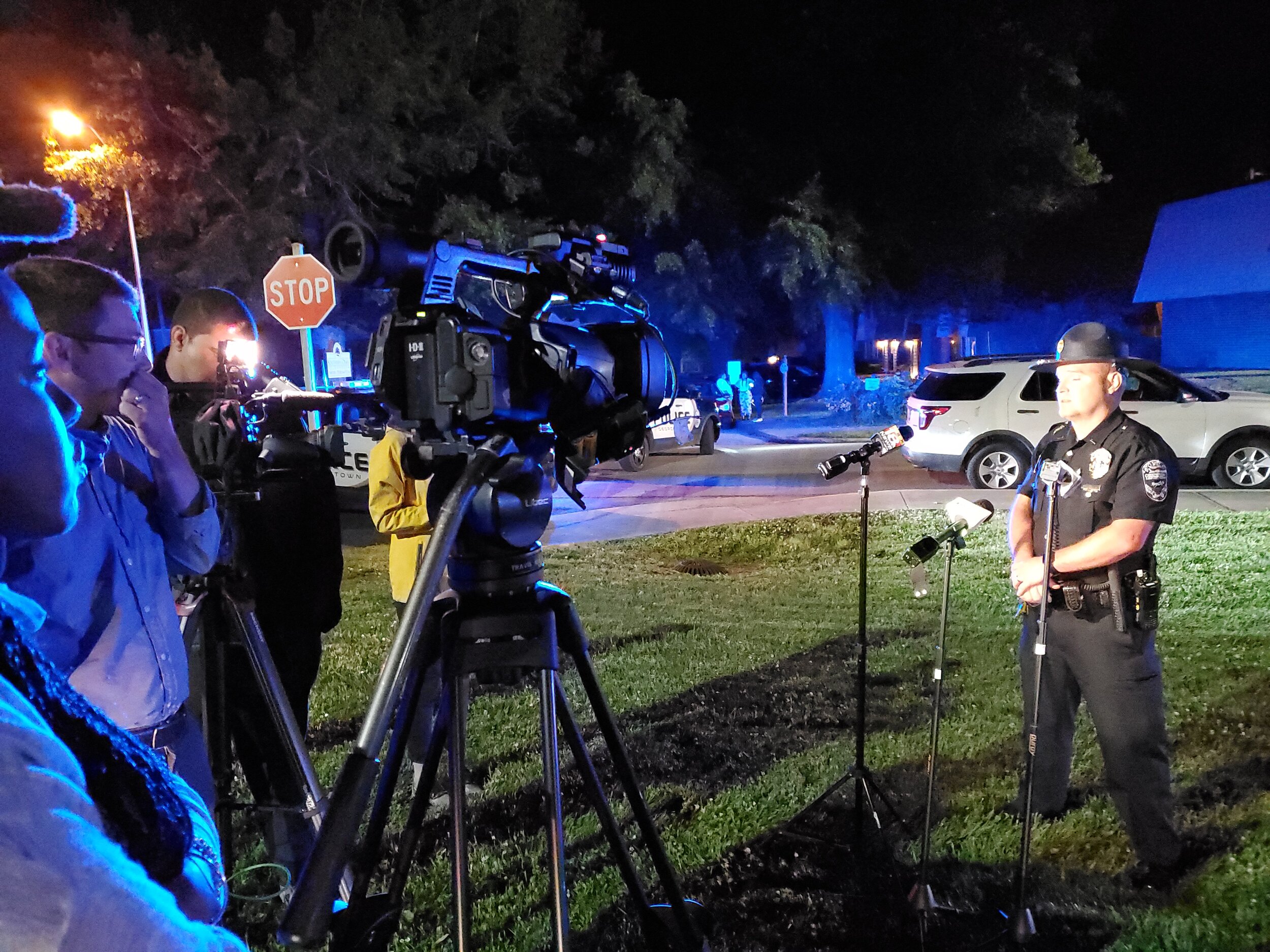
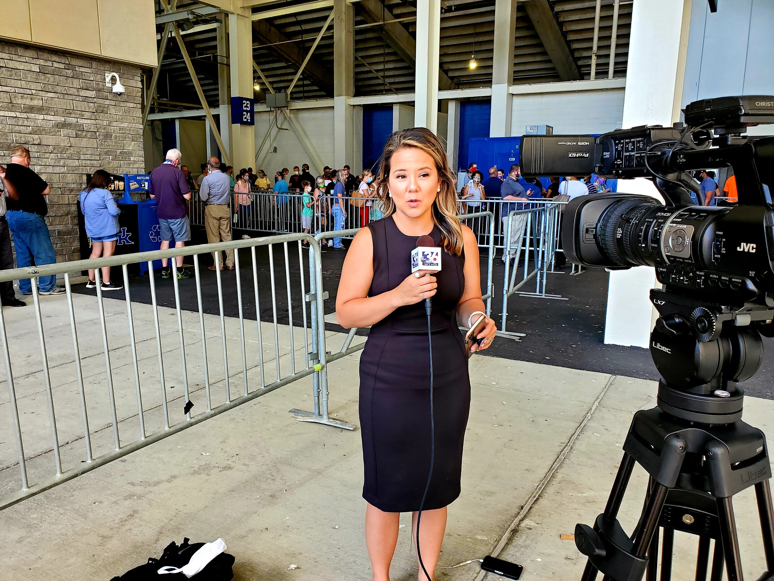
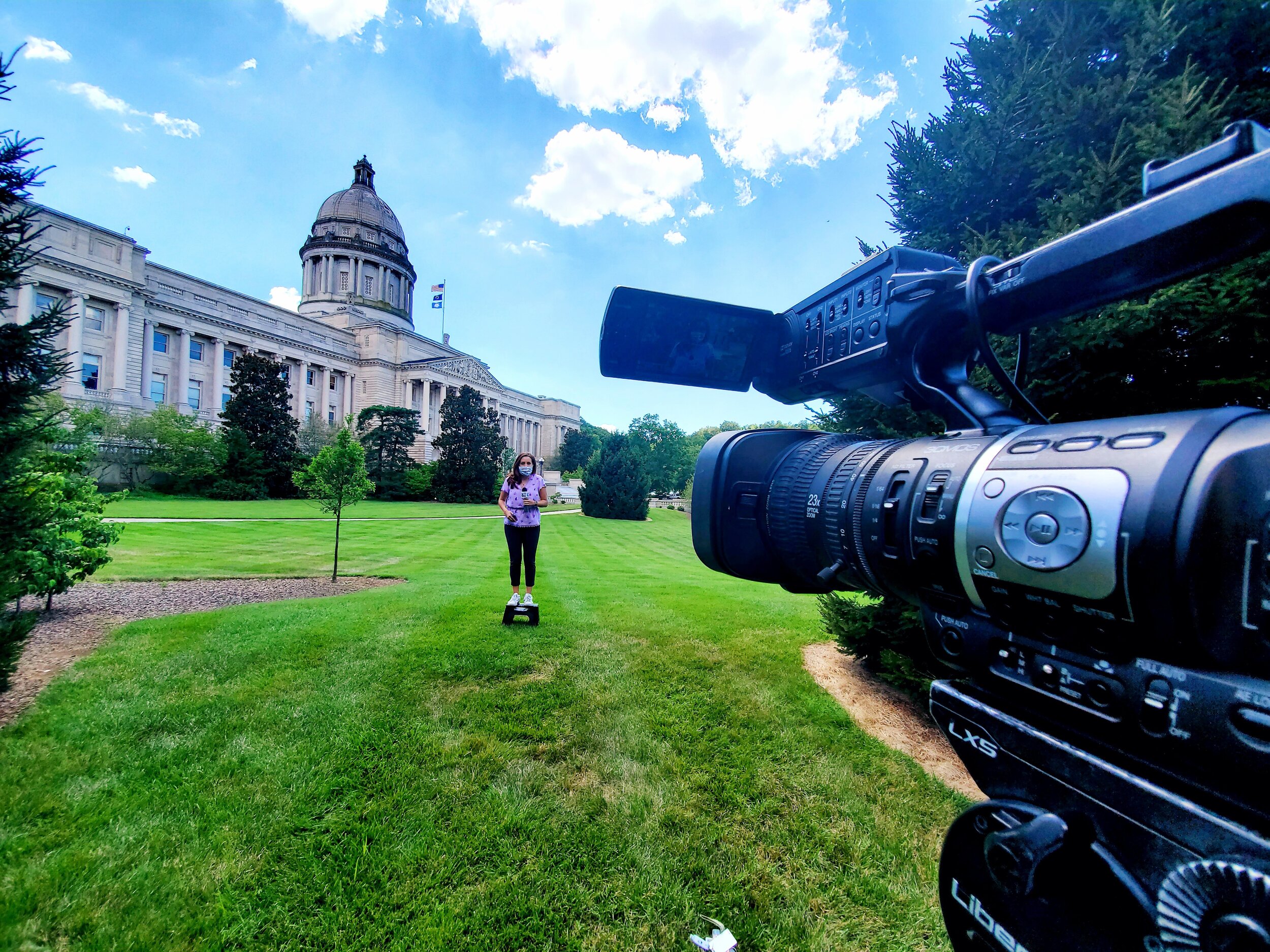
Assignment Editor
ABC36 - WTVQ (April 2020 - August 2020)
Lexington, Ky. - Responsible for managing a team of reporters covering local news stories in a fast-paced environment. Produce and edit digital content for the station’s web page and social media outlets. Work with bureau chiefs, correspondents, contributors, and producers to gather and confirm developing news stories for broadcast content. Monitor all news outlets, scanners for breaking news to coordinate logistics and dispatch reporters to sites across central and eastern Kentucky.
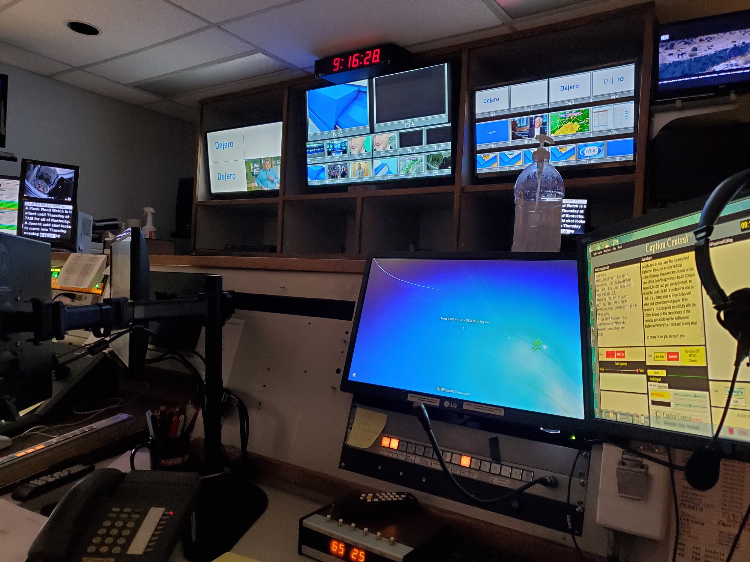
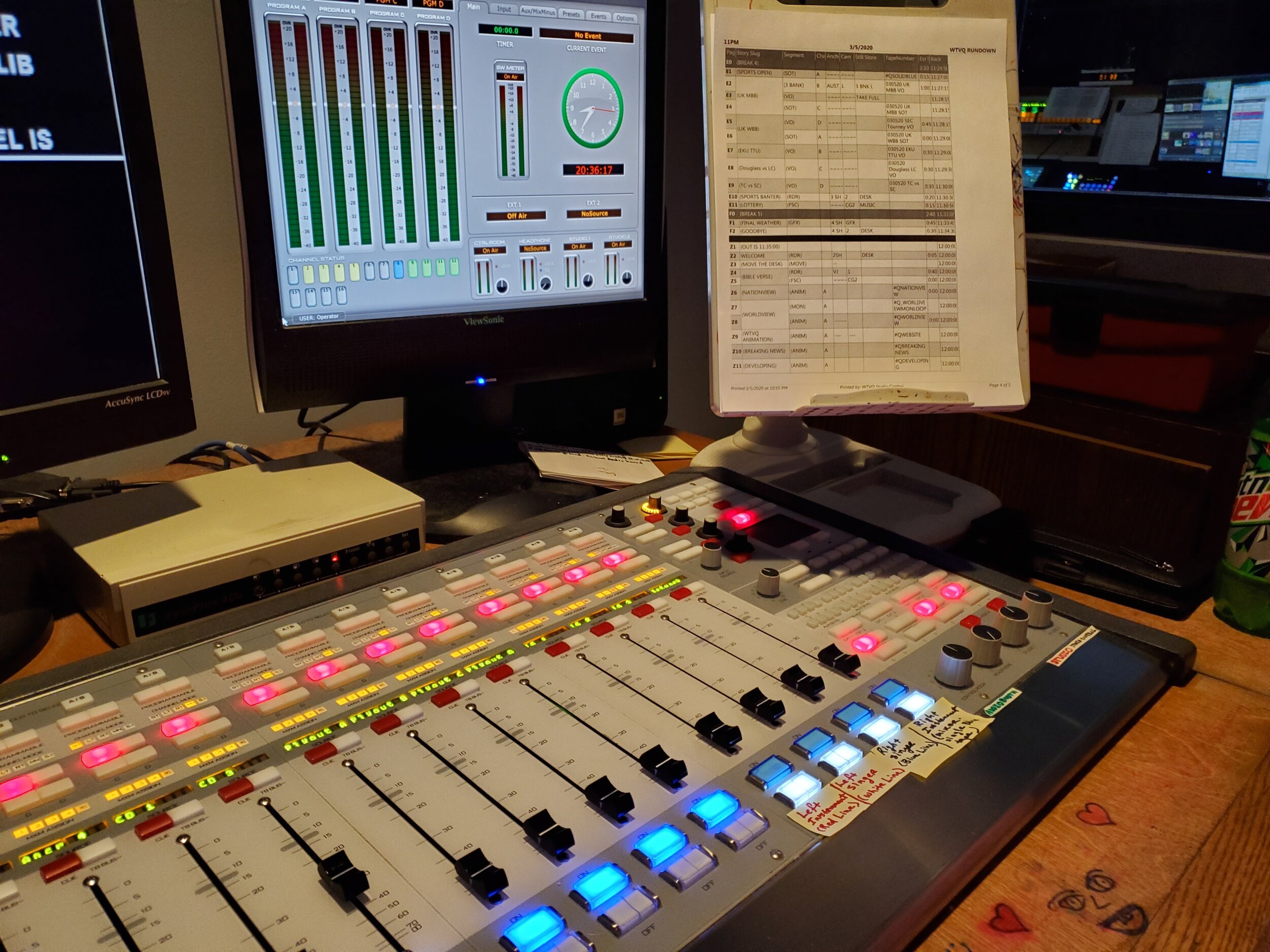
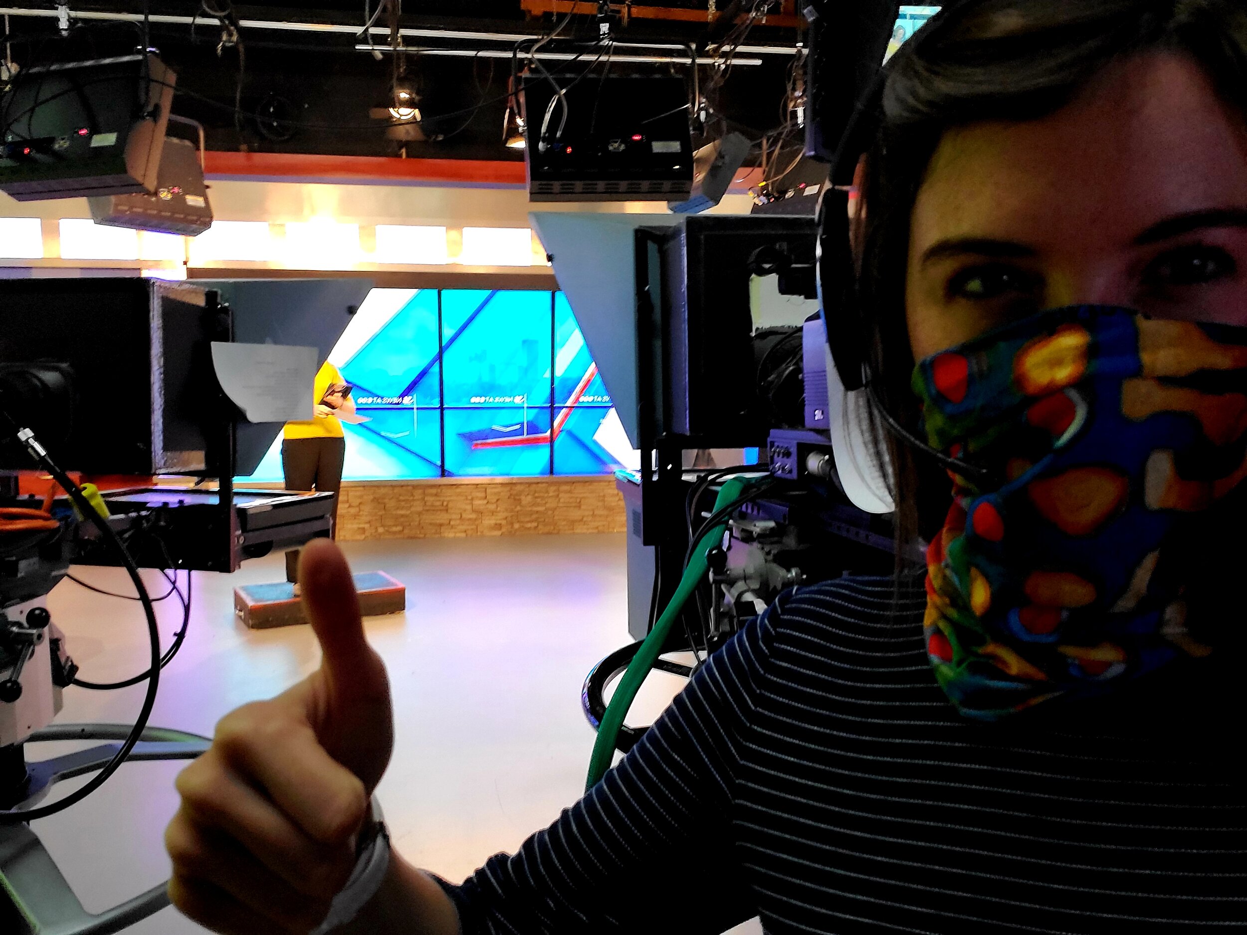
Floor Director
ABC36 - WTVQ (January 2020 - April 2020)
Lexington, Ky. - Coordinated on-air talent and guests for live evening news broadcasts and lifestyle programs. Consulted the director on production logistics by planning the coordination of moving camera parts, technical equipment, and the on-air talent. Operated studio cameras, audio control board, prompter, and developed expertise in Chyron Graphics.


Graduate Teaching Assistant
University of New Hampshire (August 2019 - January 2020)
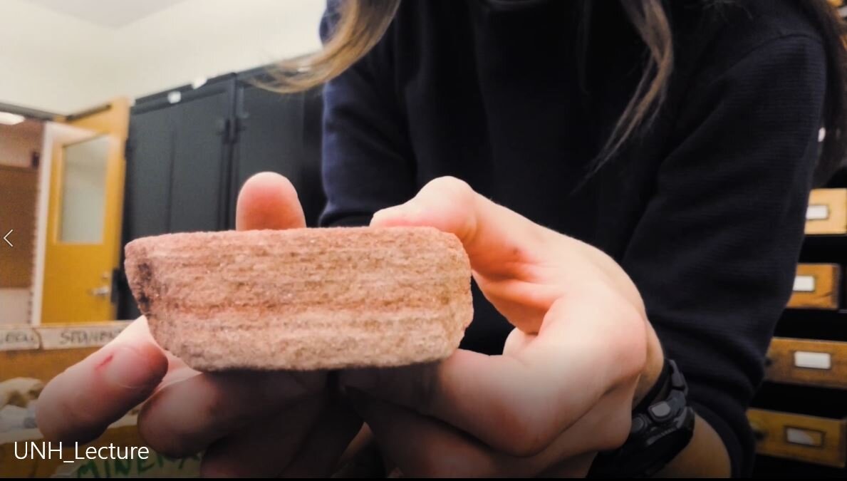
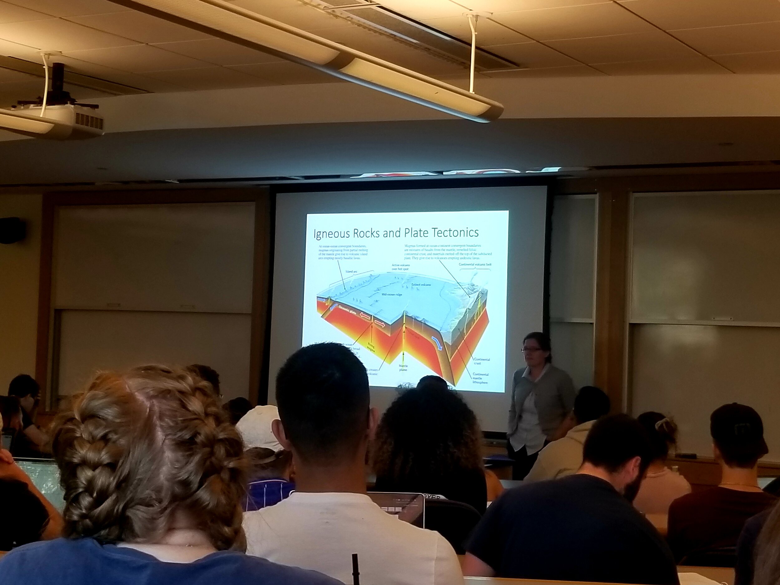
Durham, NH - Instructed labs for an Introductory Geology course (ESCI 401: Dynamic Earth) in the UNH Earth Sciences department. Mentored ~40 students weekly and developed 10 lectures of which I delivered. Led classroom discussion, guided local field trips, demonstrated how to use various field-based tools and equipment, and developed supplementary teaching materials and visual aids. Scheduled and maintained regular office hours and instructional periods. Systematically evaluated student assignments and returned them in accordance with established deadlines.


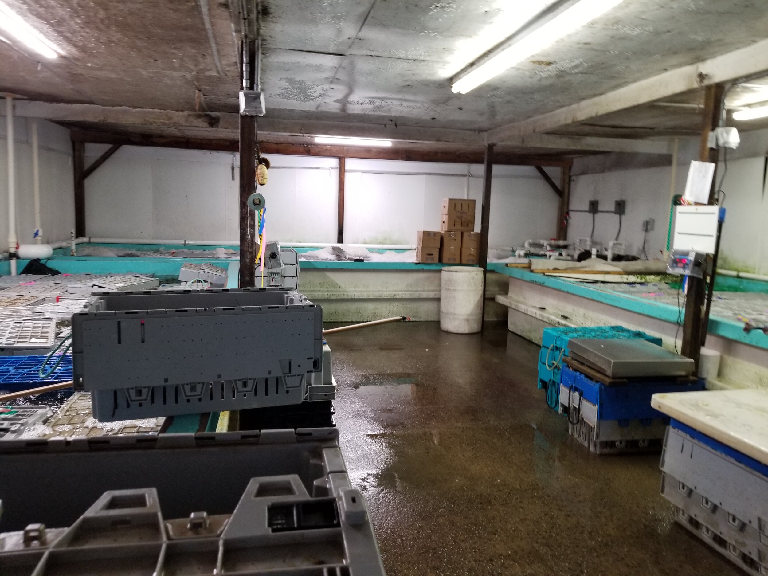
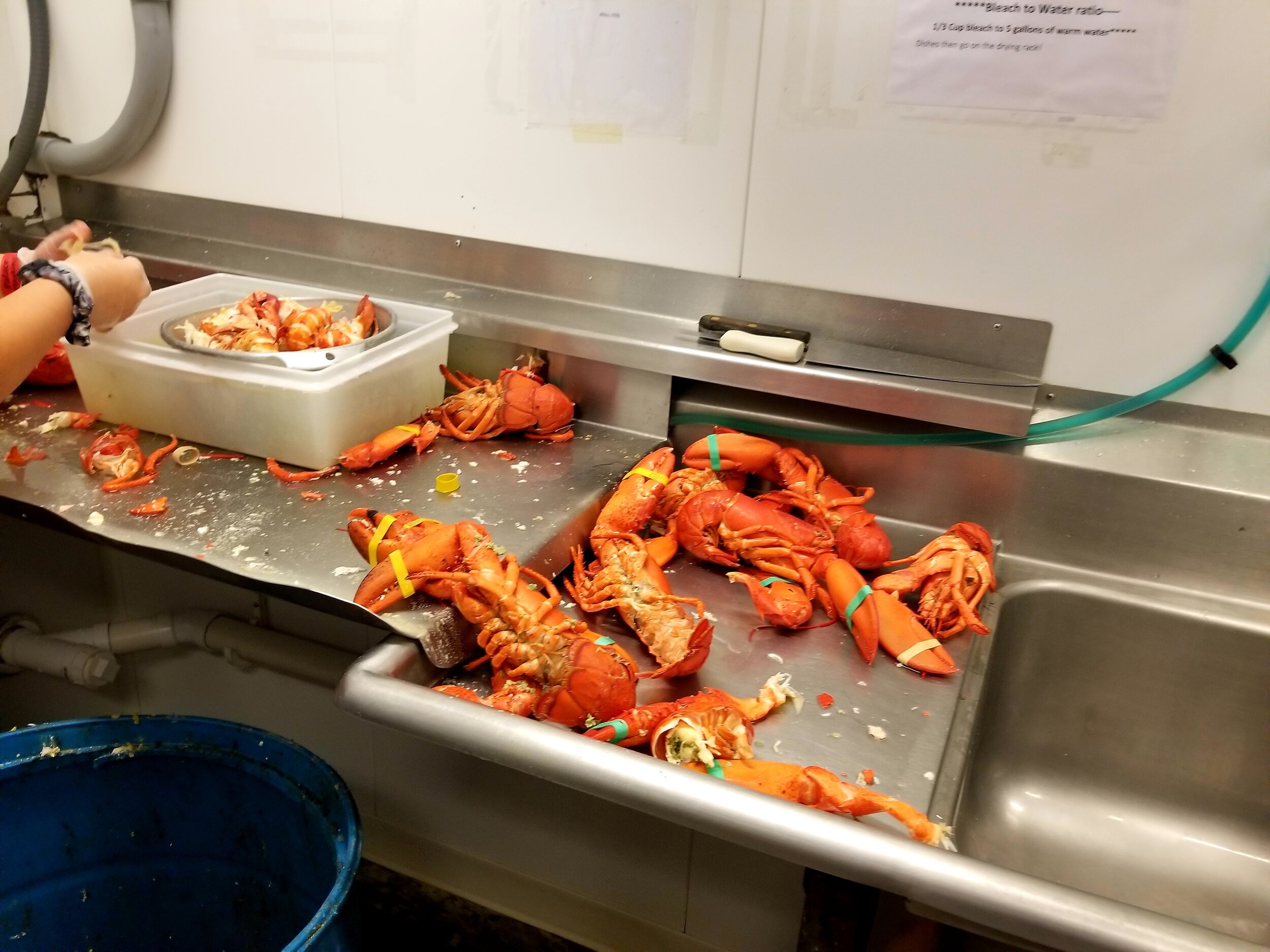
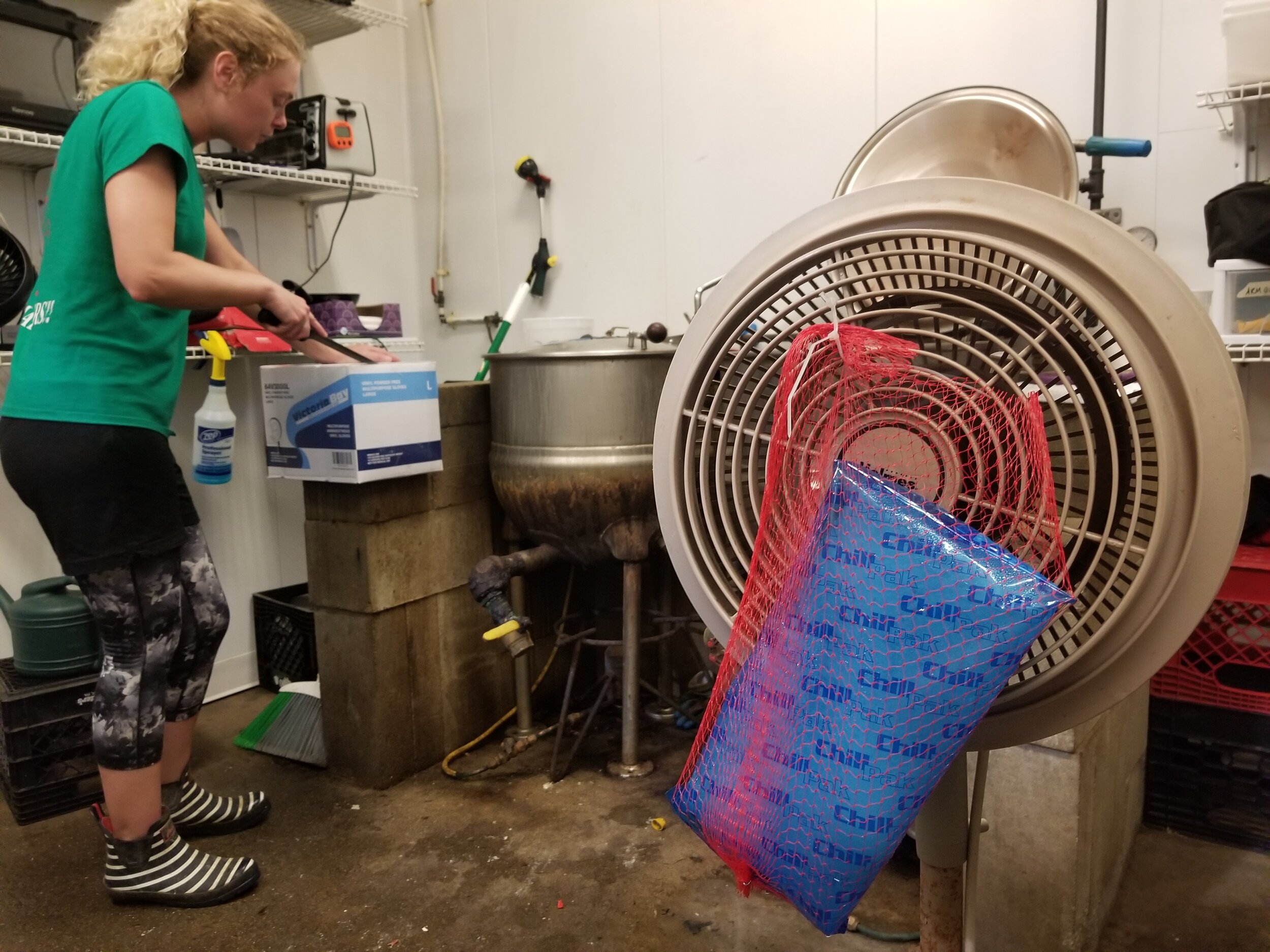
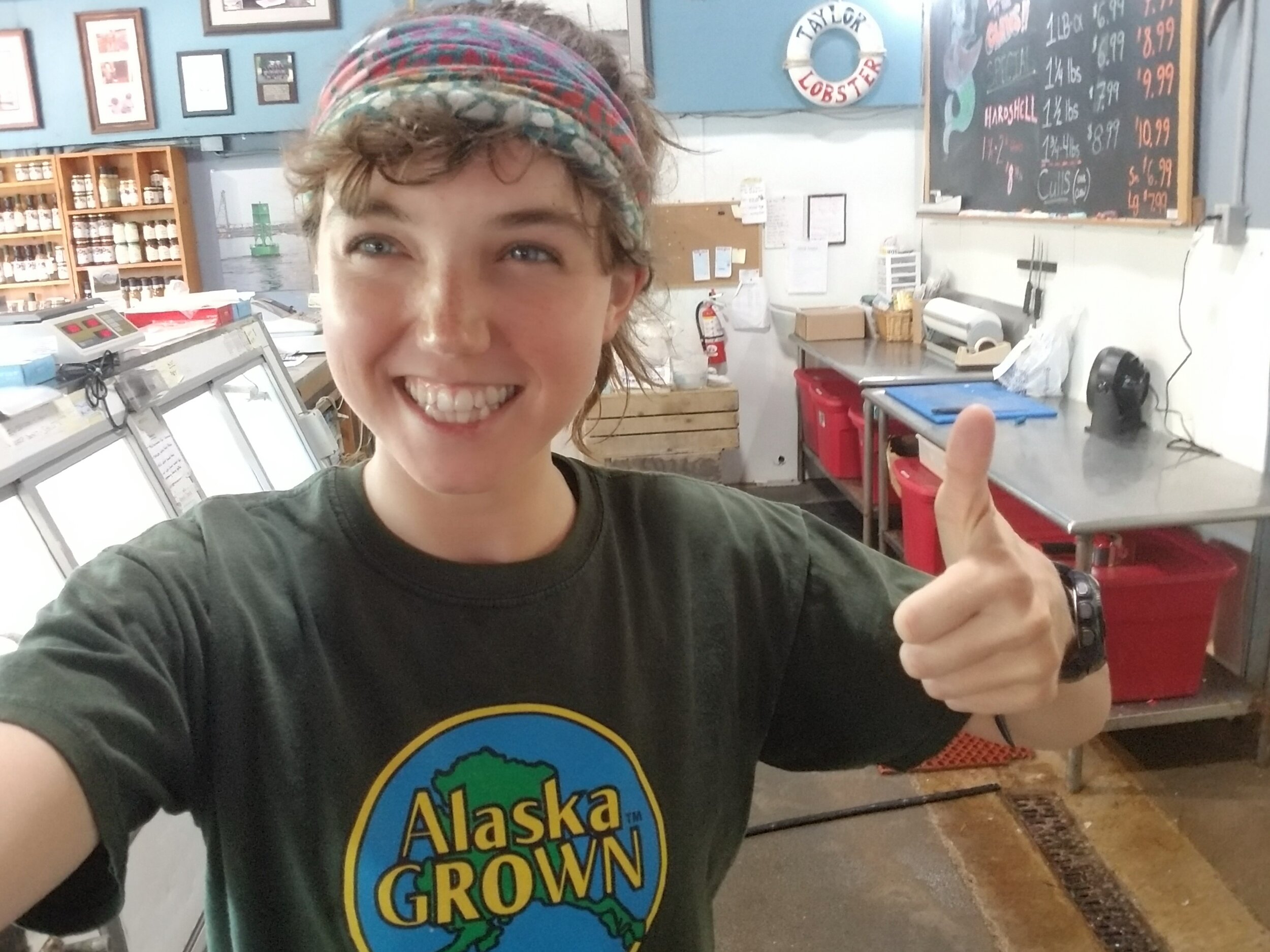
Fishmonger
Taylor Lobster Co. (June 2019 - September 2019)
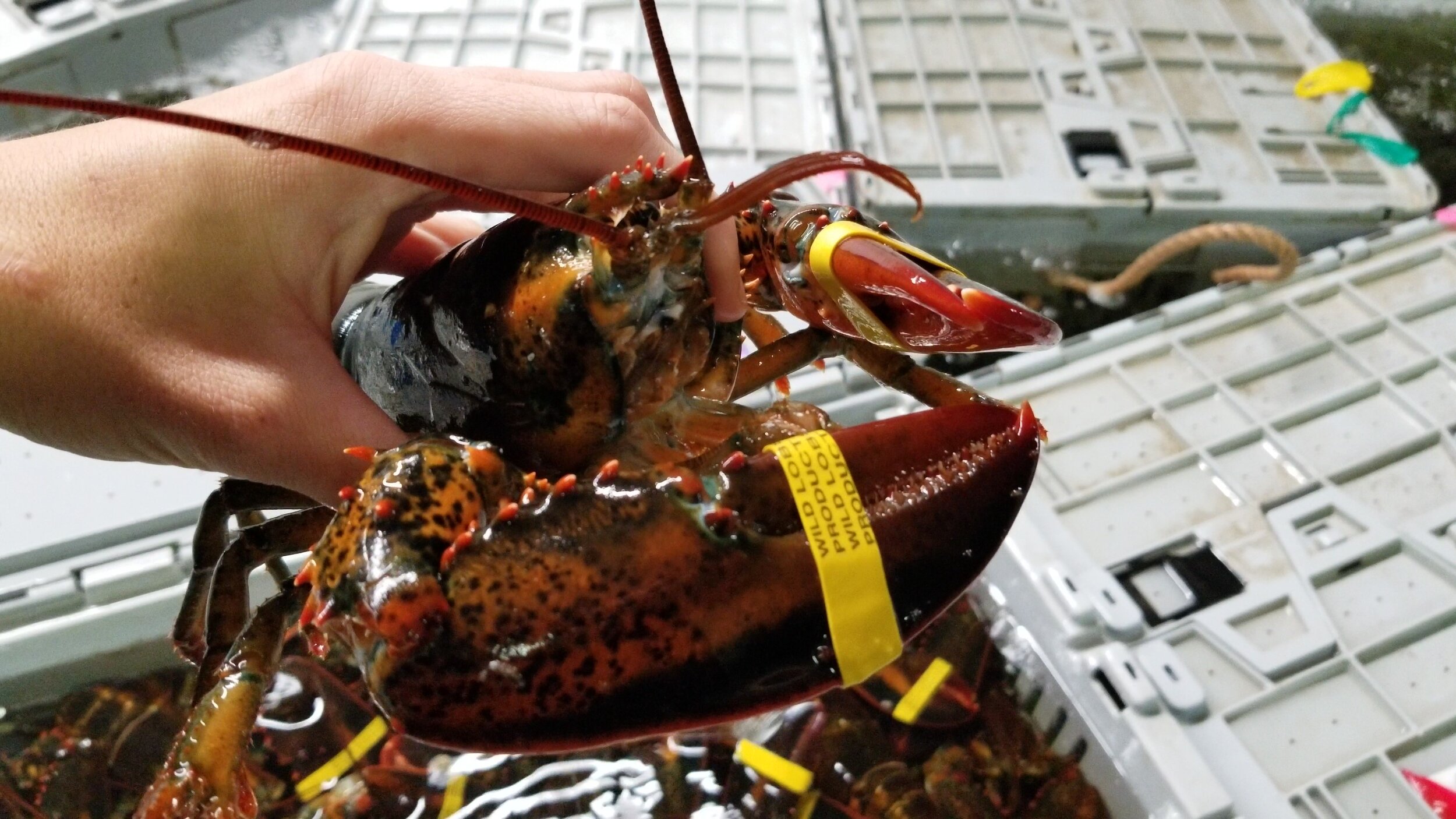
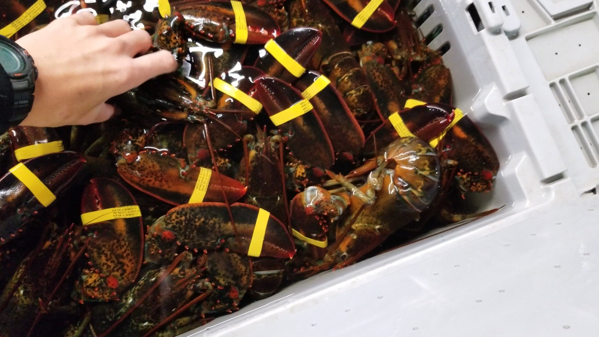
Kittery, ME - Trained in selection, handling, gutting/boning/filleting, displaying and selling fish from the northern Atlantic. Responsible for receiving, sorting/grading lobsters, wholesale orders, and customer service.
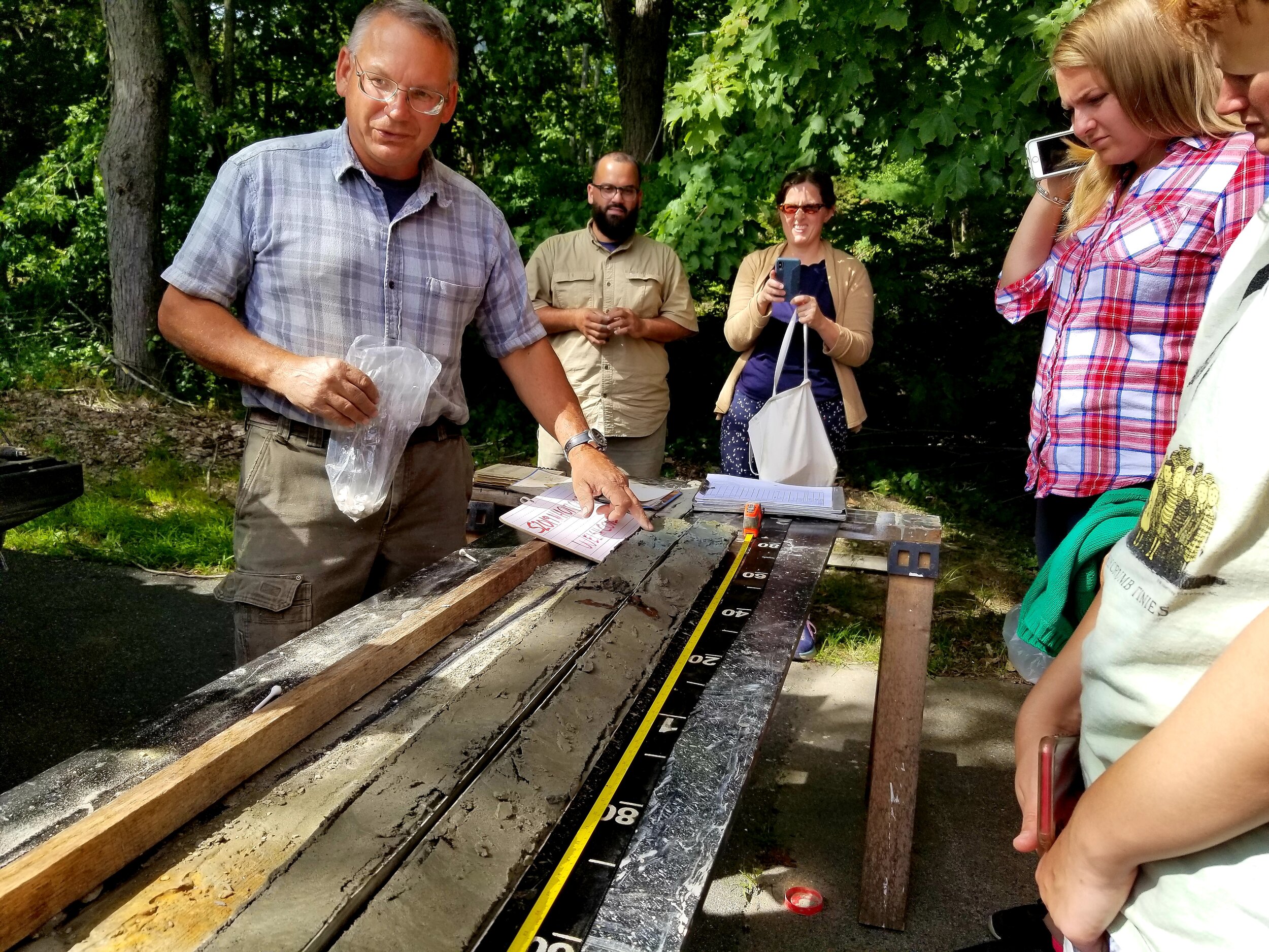
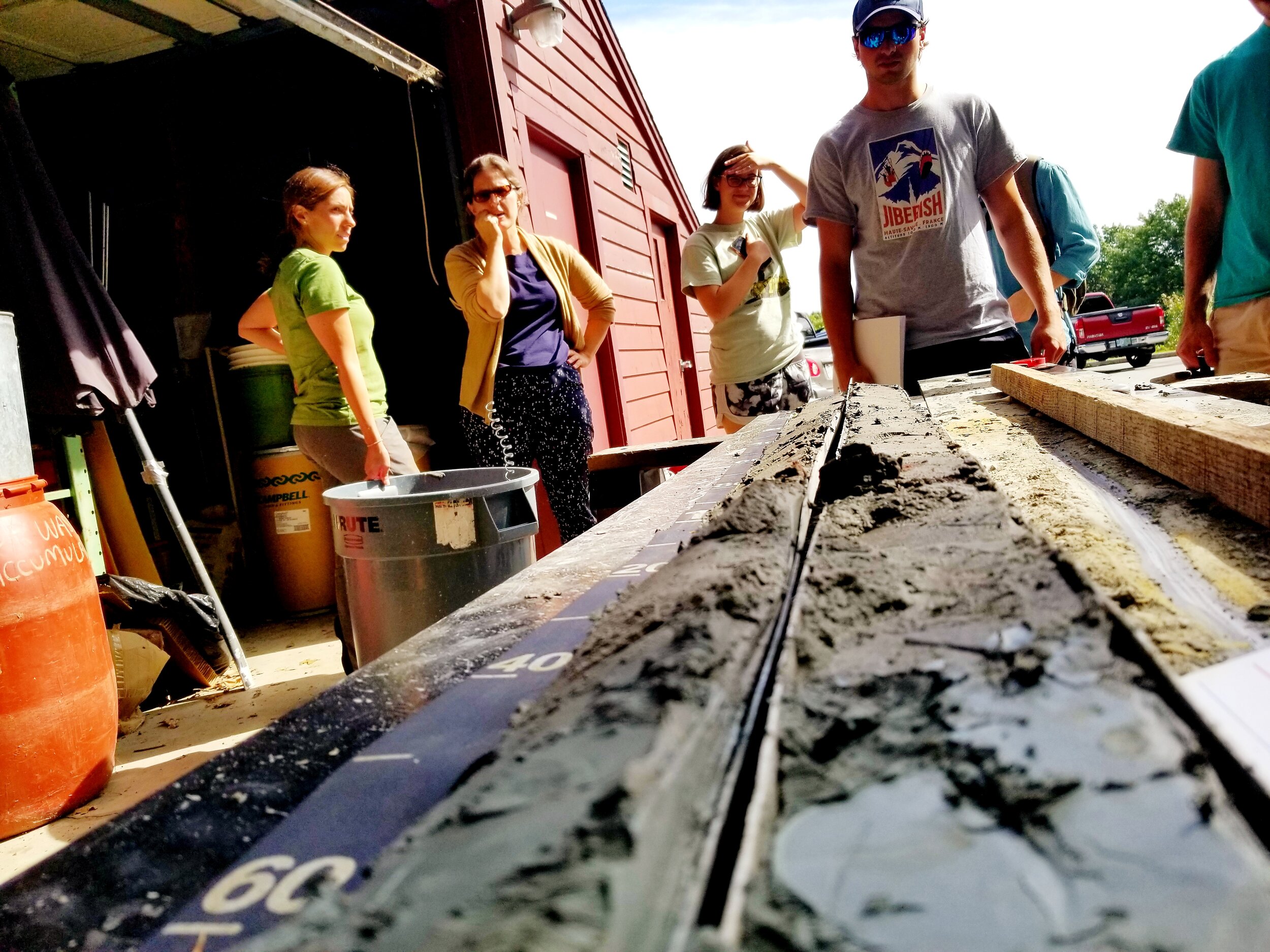
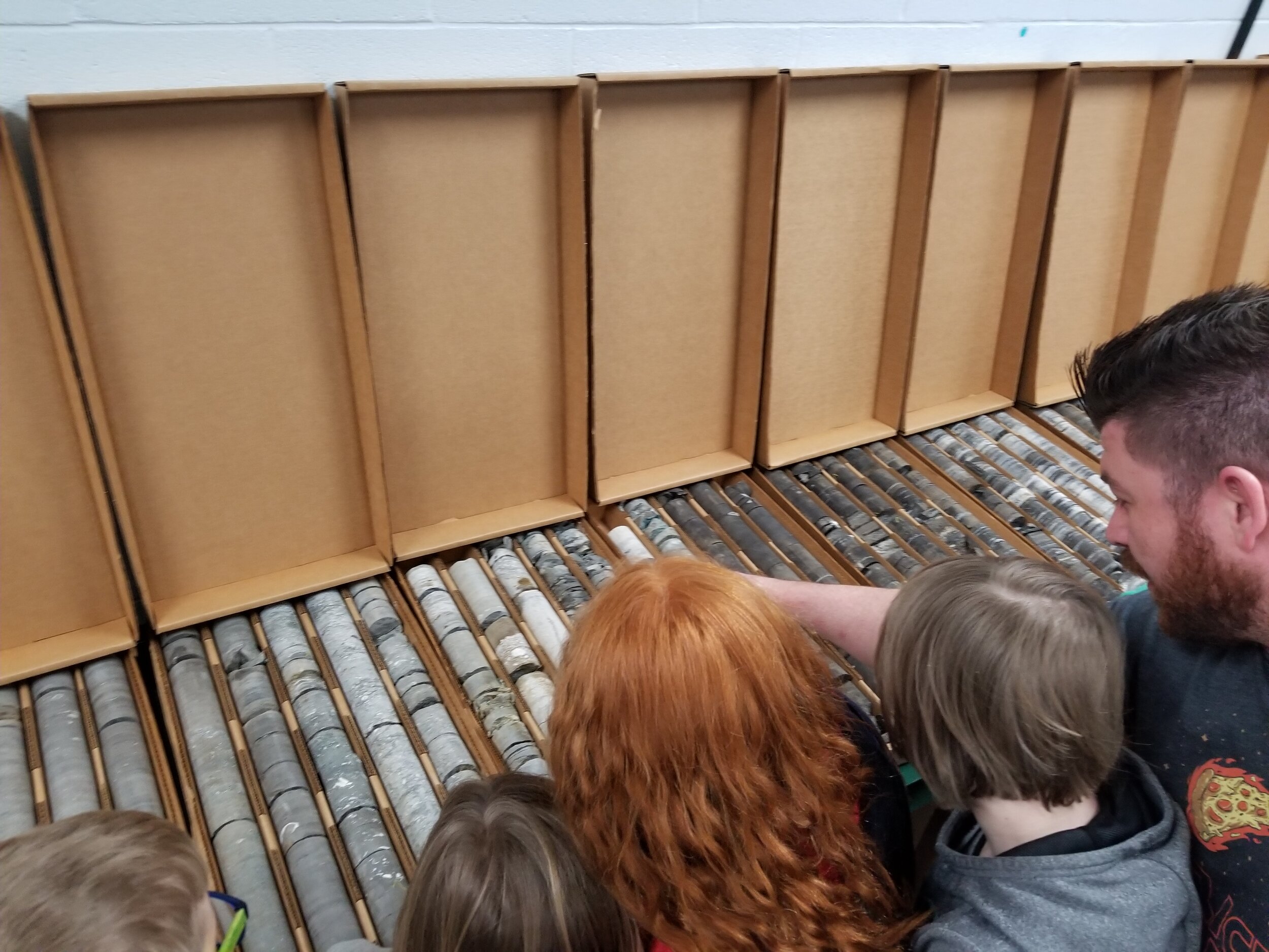
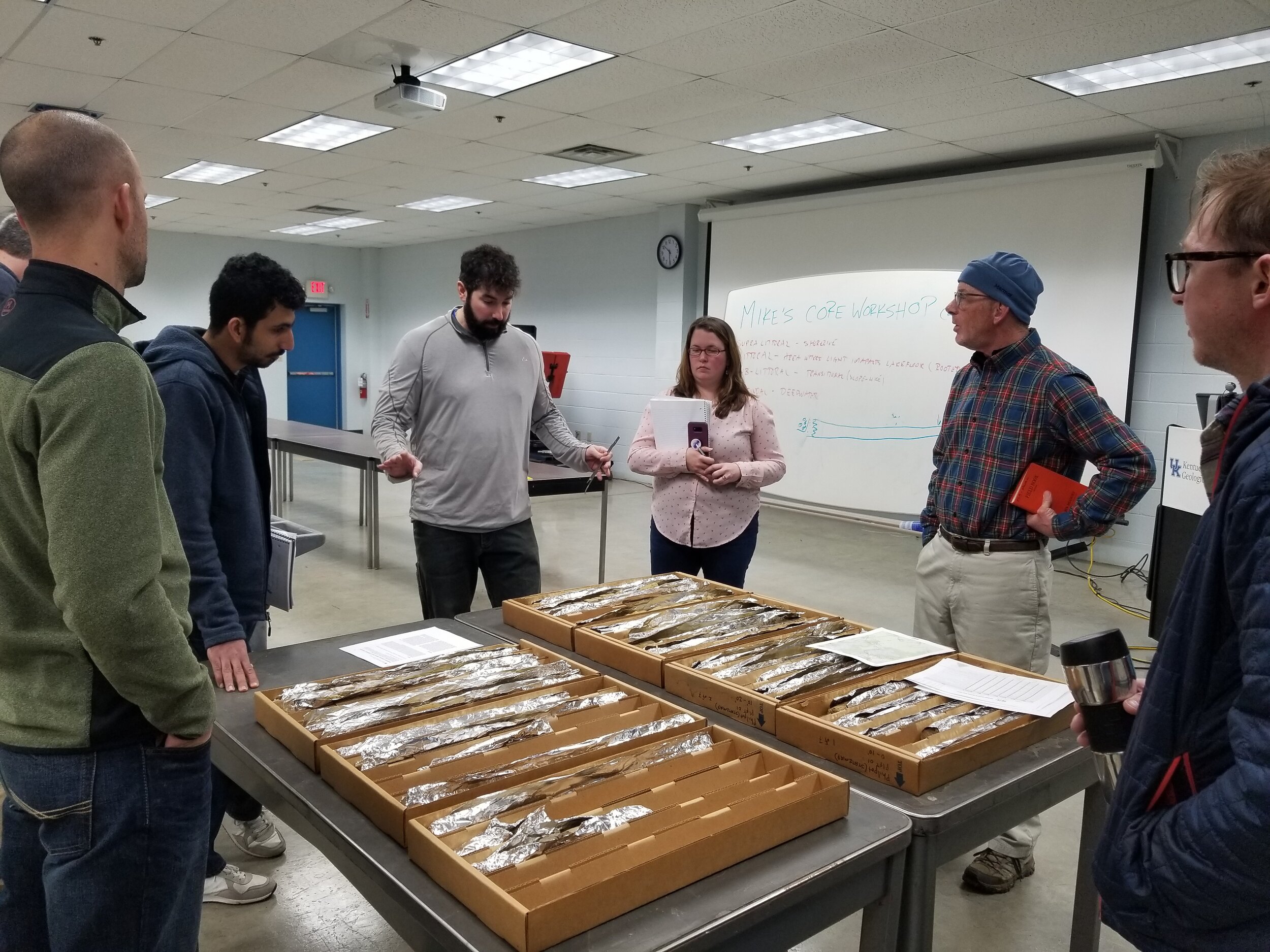
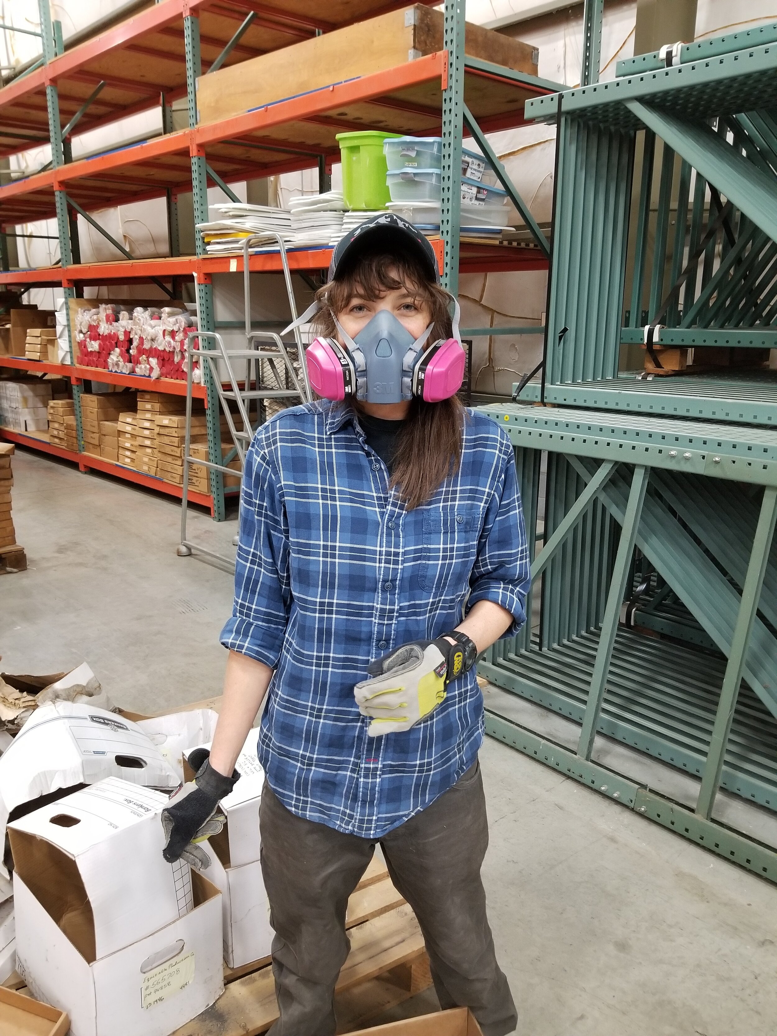
Research Technician
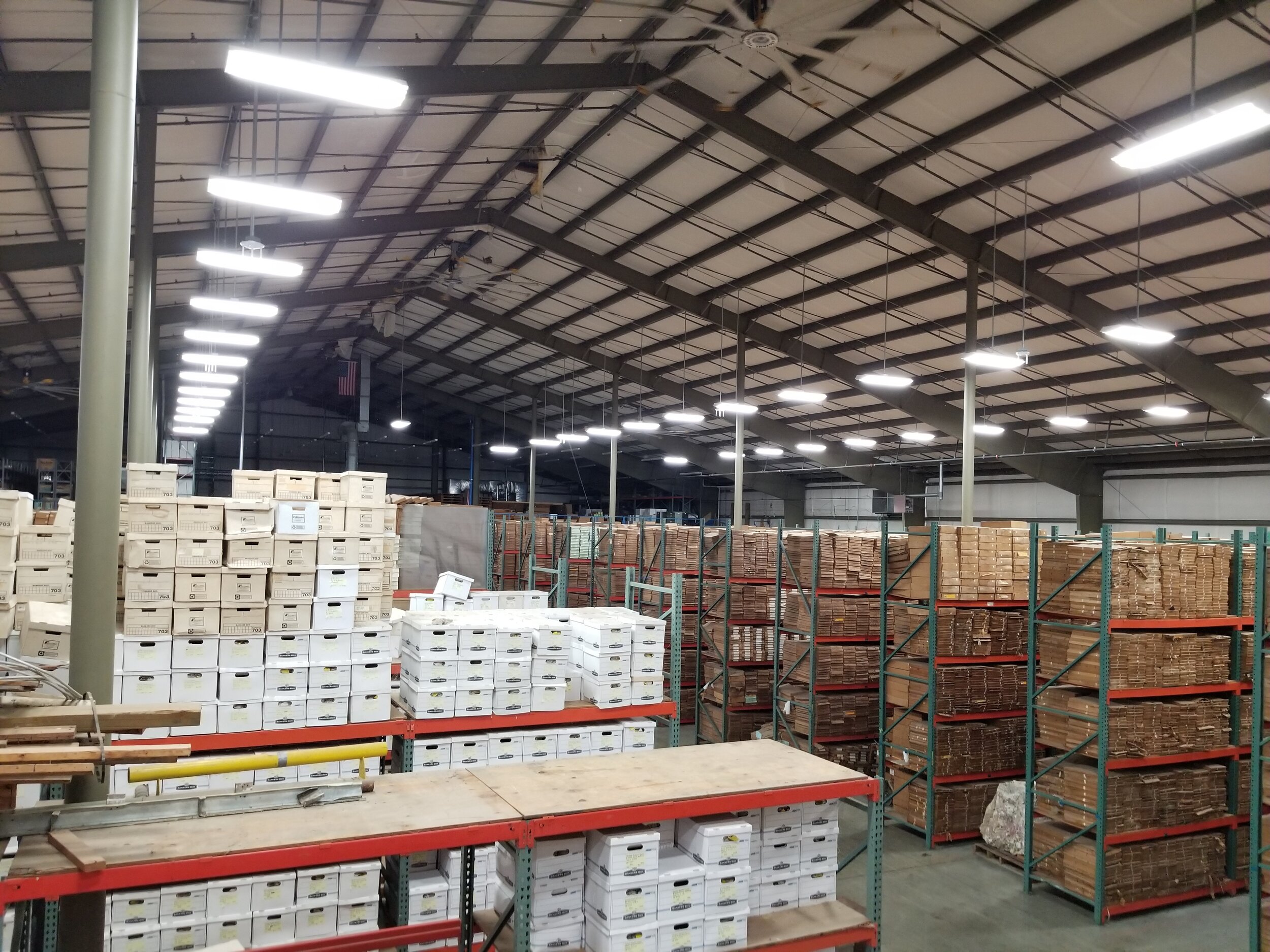
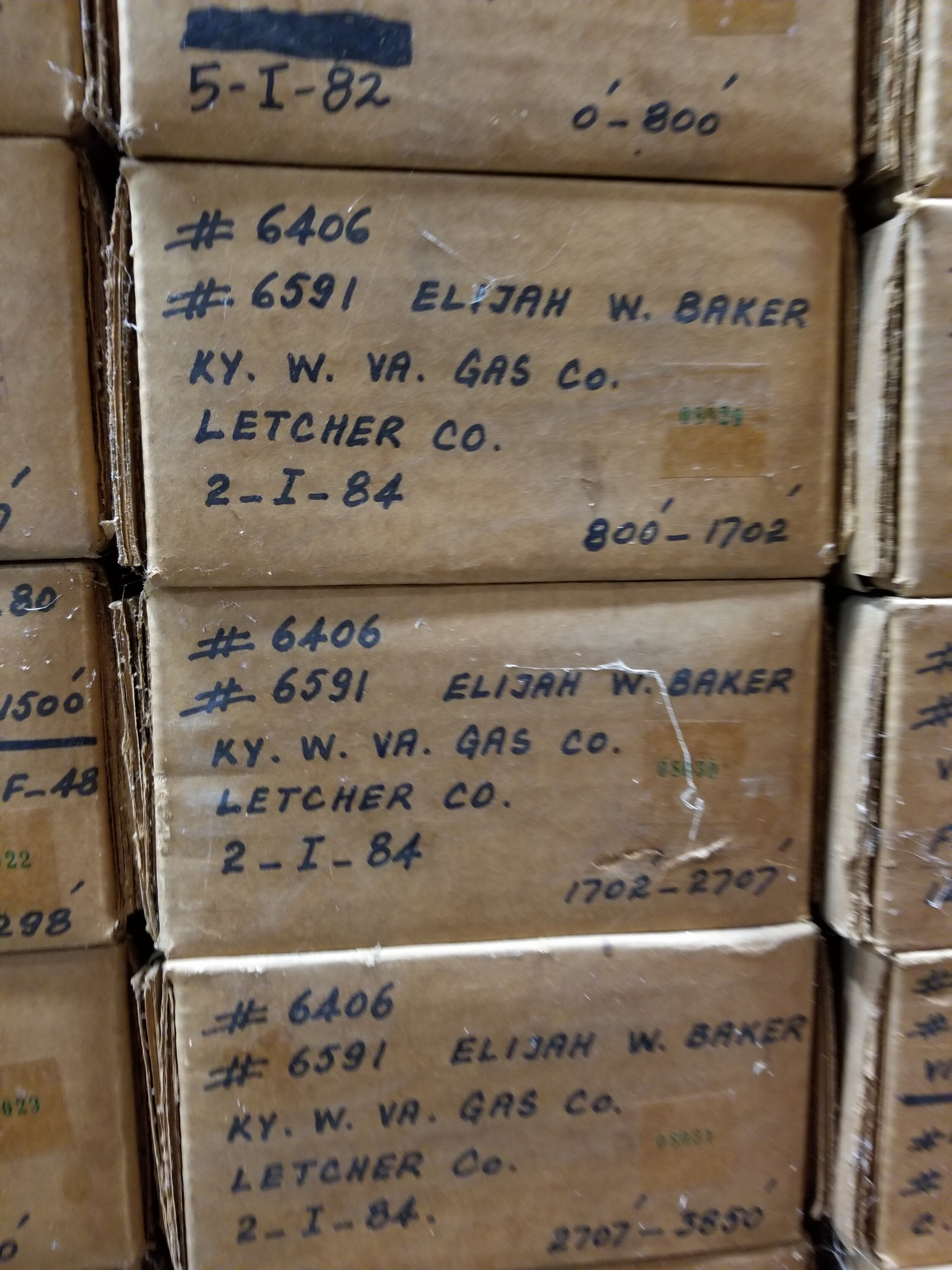
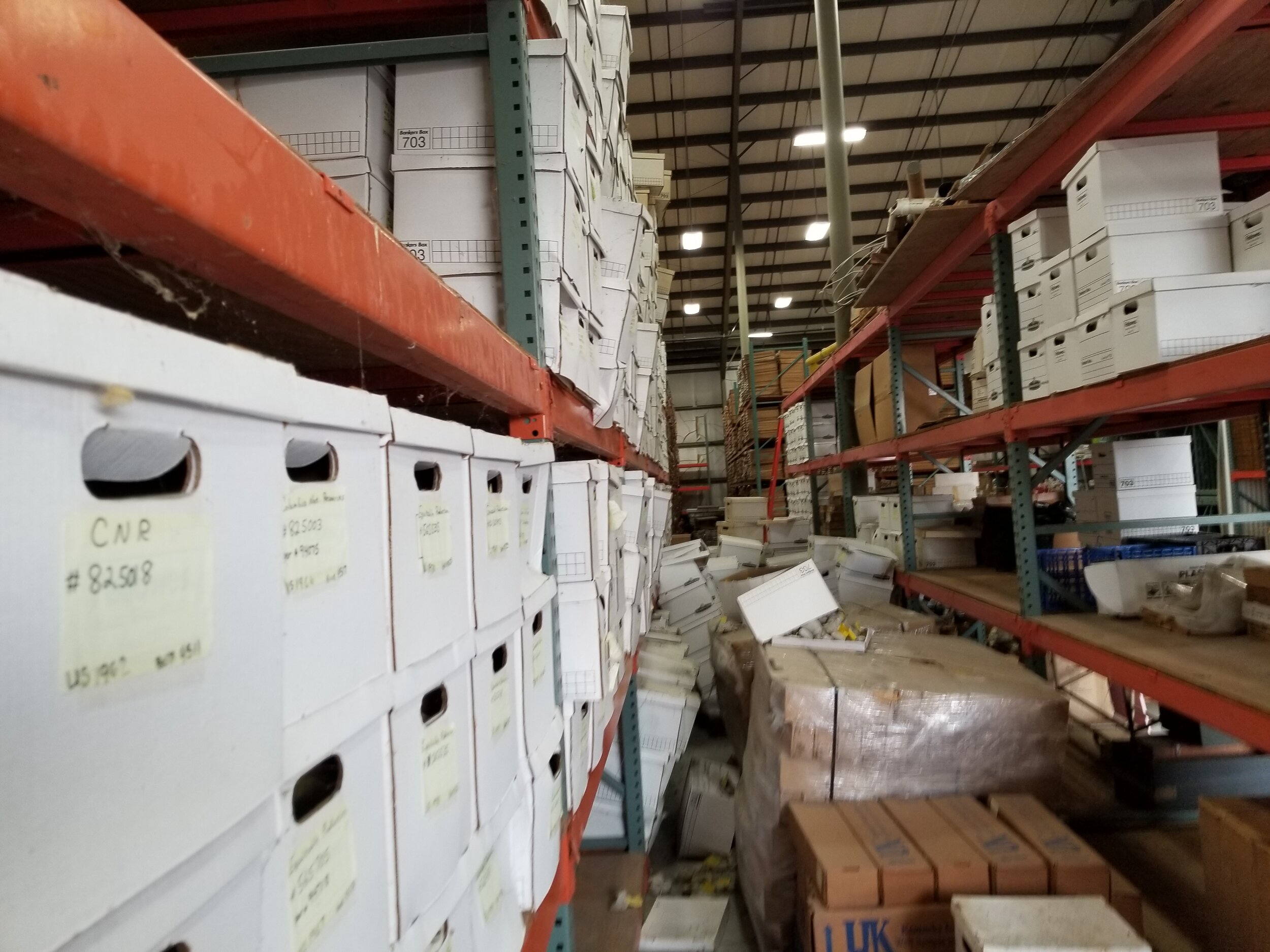
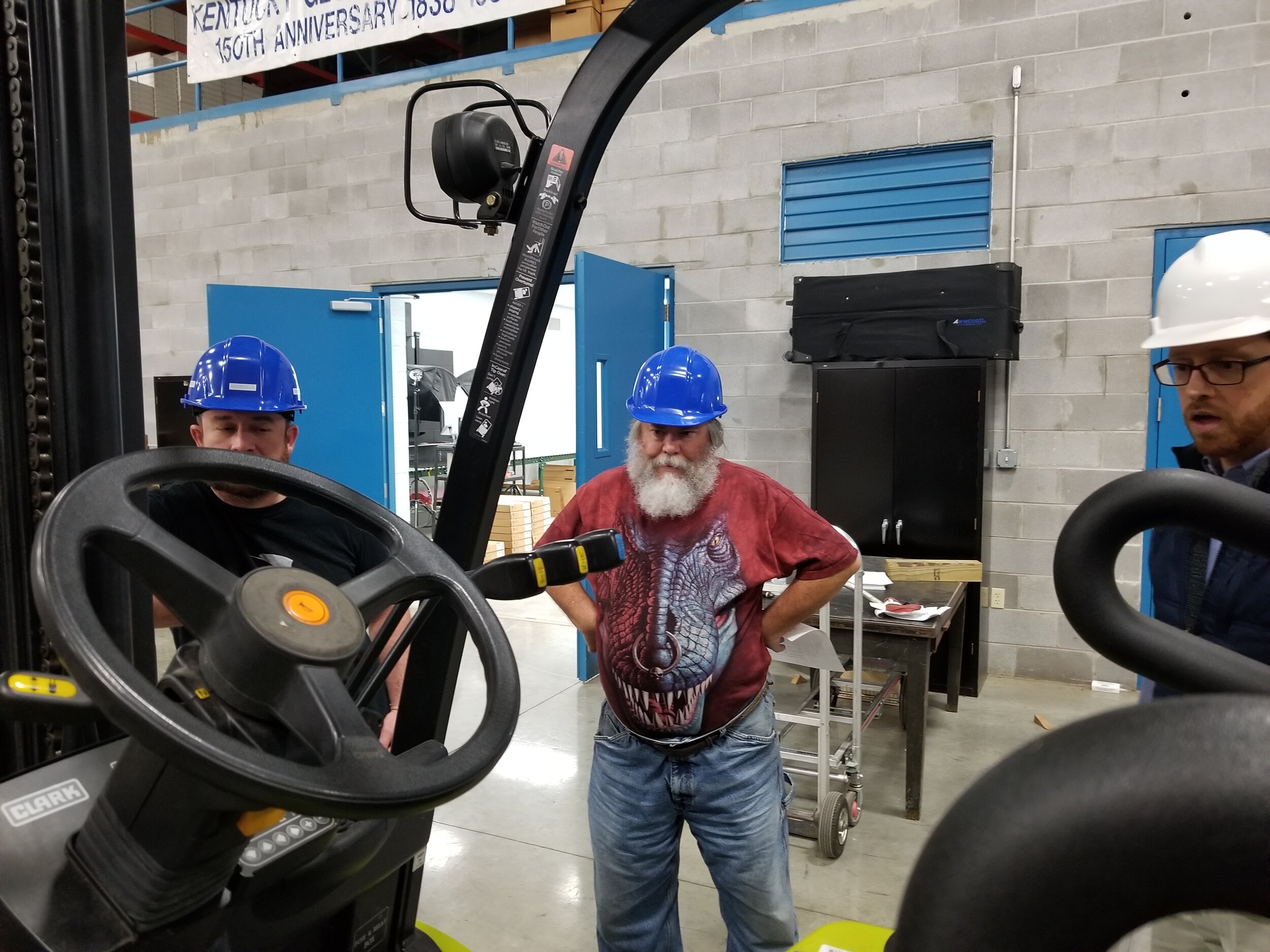
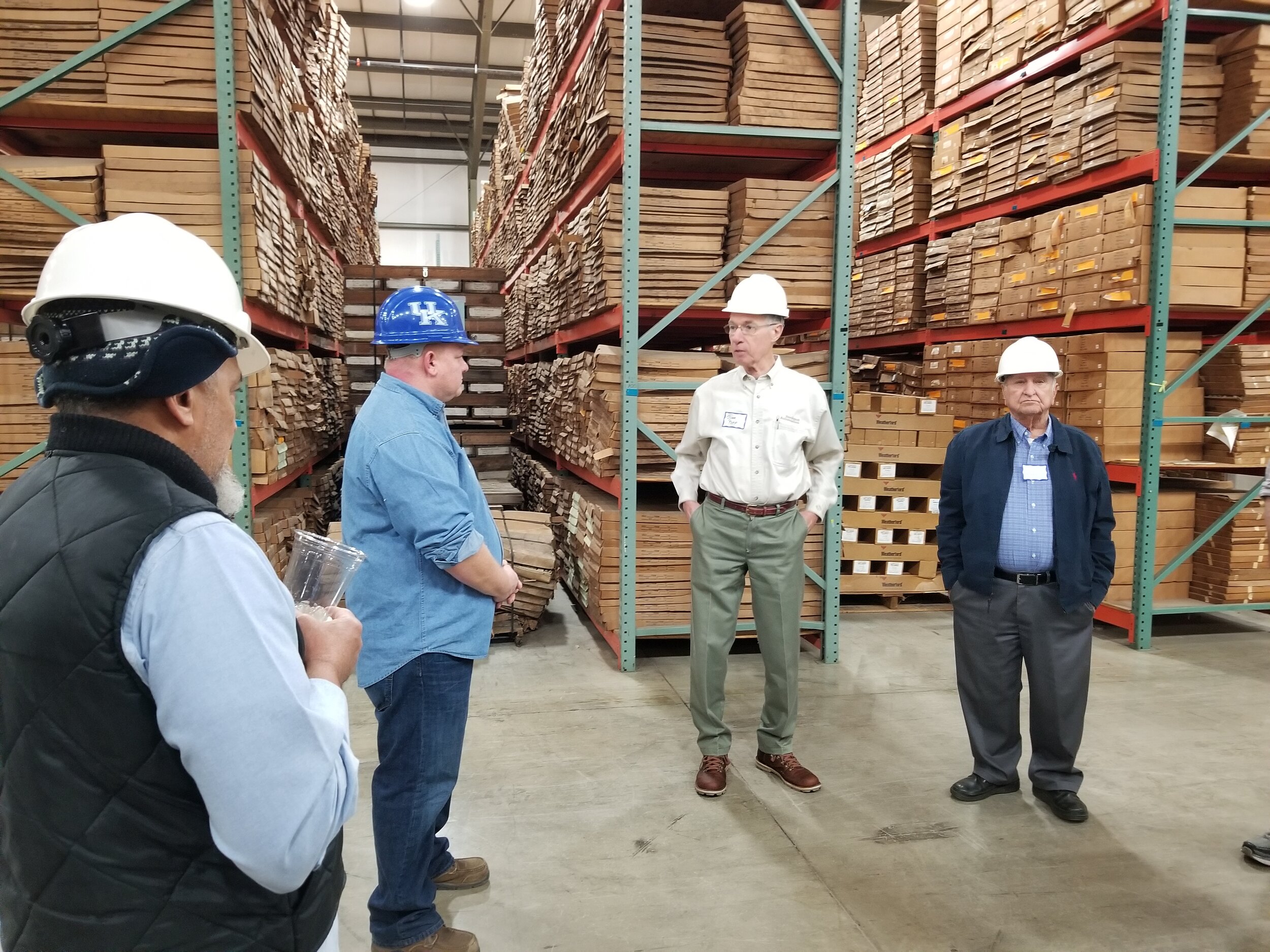
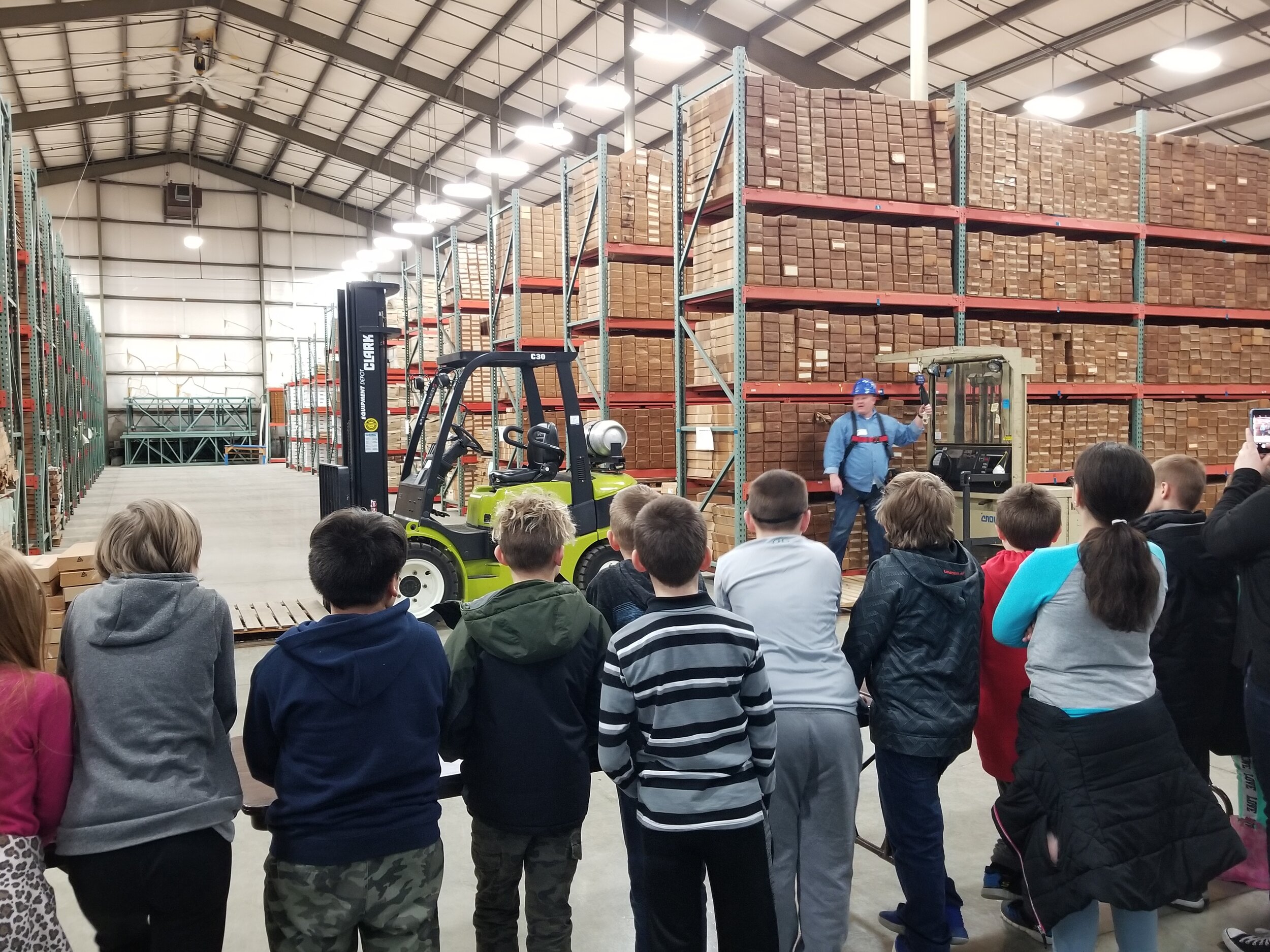
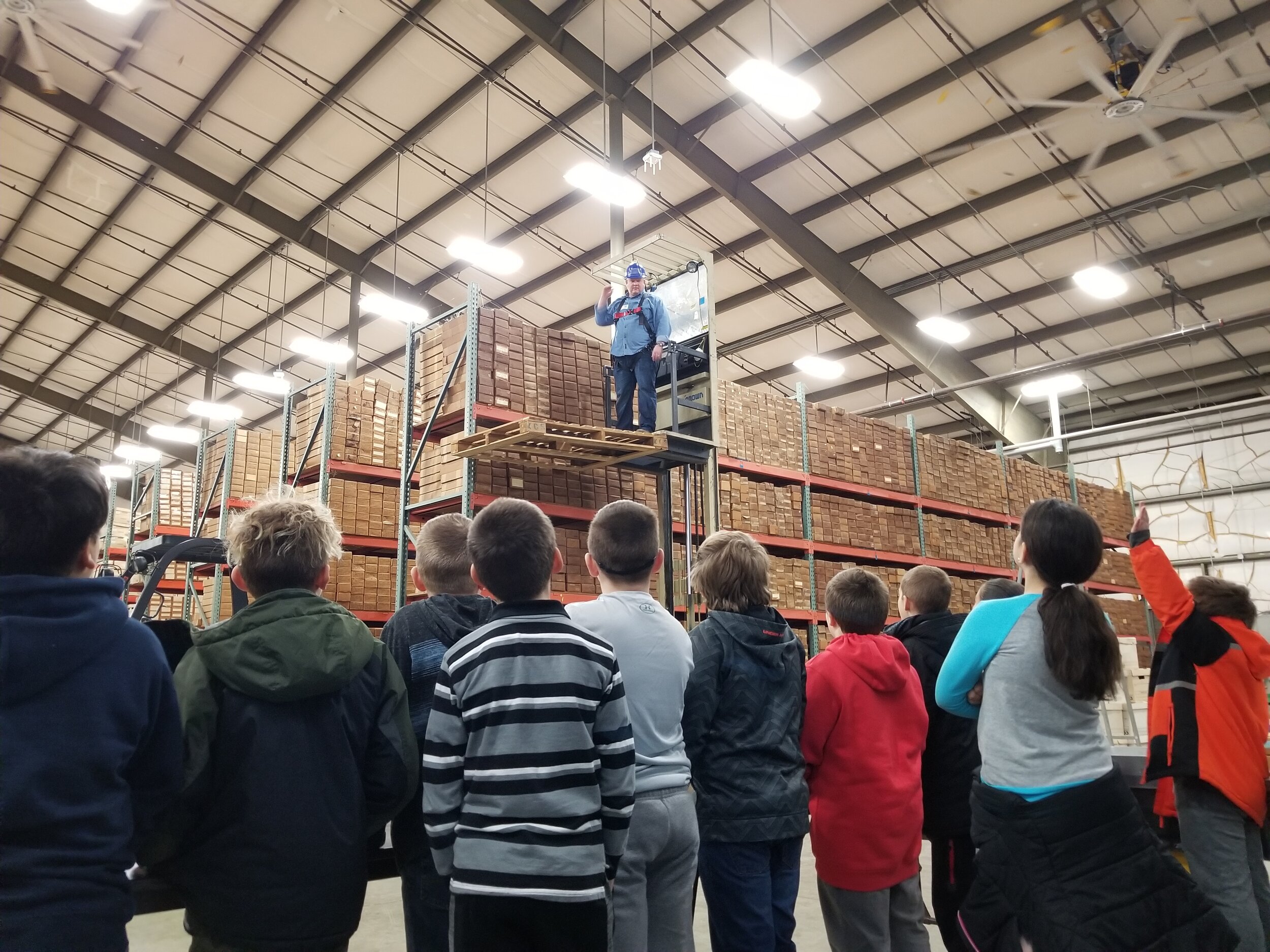
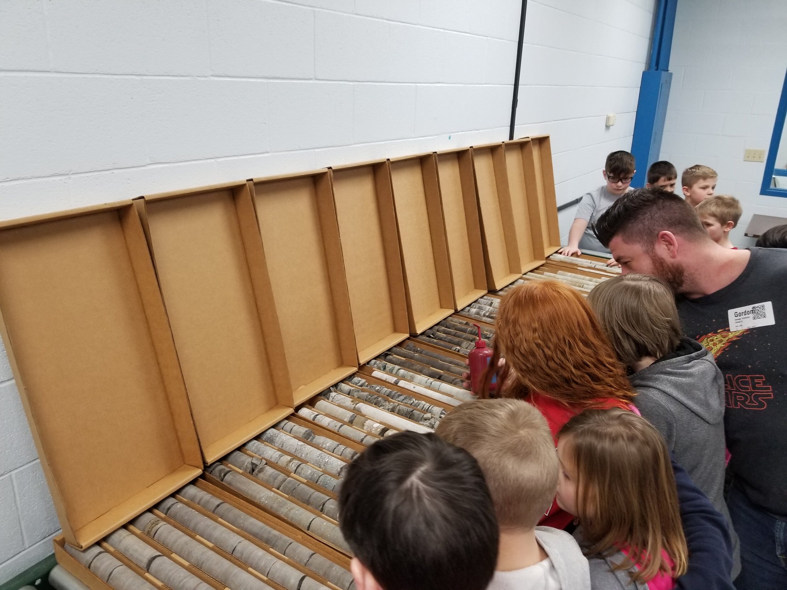
Kentucky Geological Survey - Earth Analysis Research Laboratory (October 2018 - April 2019)
Lexington, Ky. - Developed and initiated a systematic operation for going through every individual sample of rock core and well cuttings stored in the facility and determining its preservation and archival needs before integrating it’s data in the new online database. At the Earth Analysis Research Library (EARL), the mandated repository for oil and gas well cutting and documents for Kentucky, I also helped organize and facilitate community outreach events with local schools and industry professionals. Established skills in data management, warehouse logistics, and community outreach.

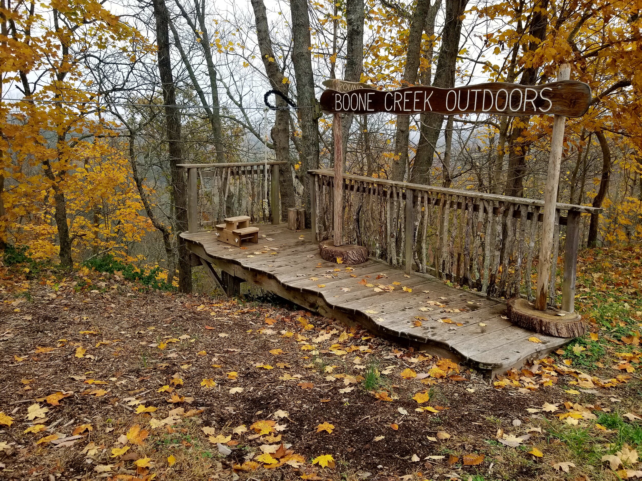
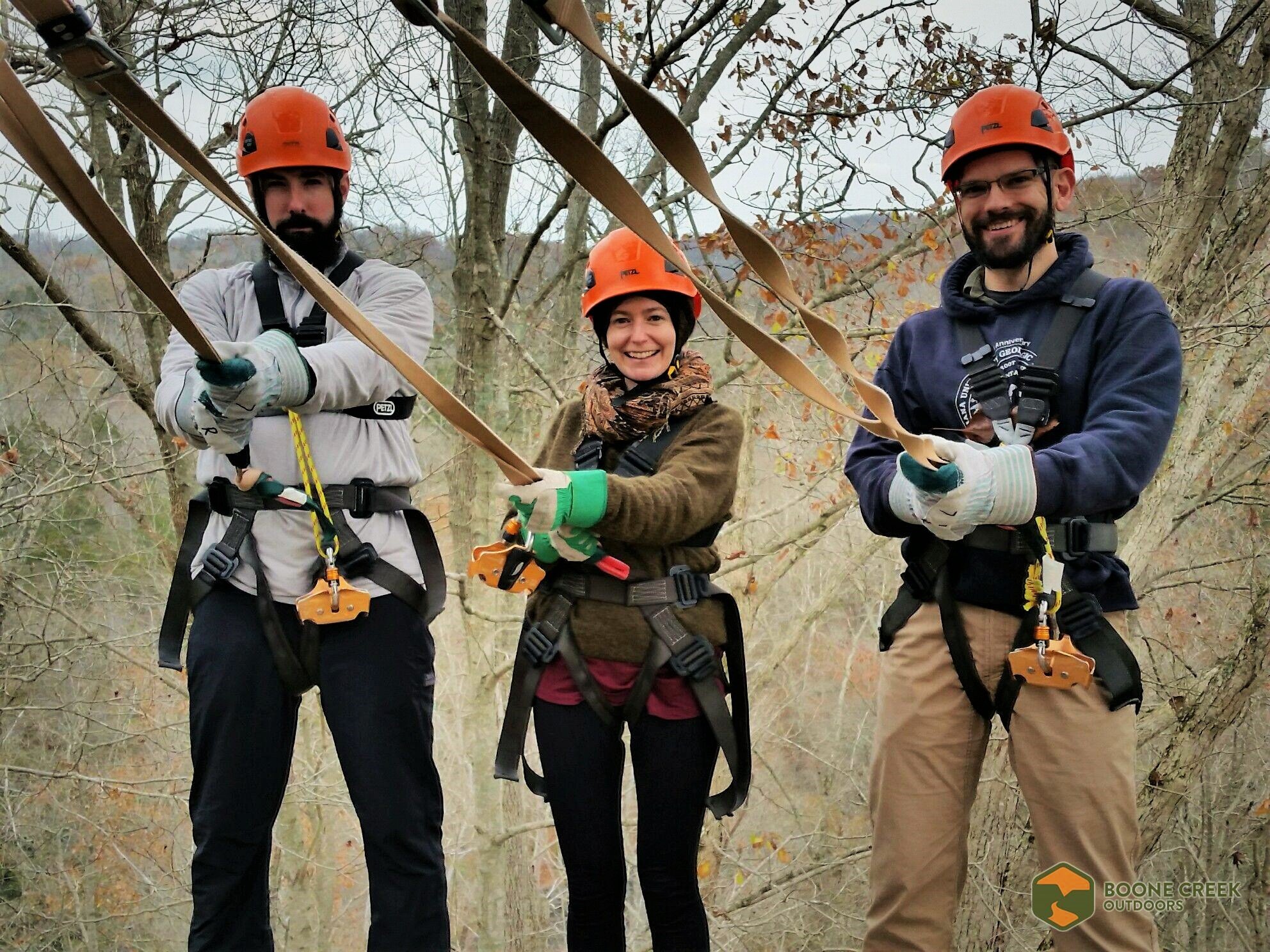
Senior Adventure Guide
Boone Creek Outdoors (August 2017 - September 2018)
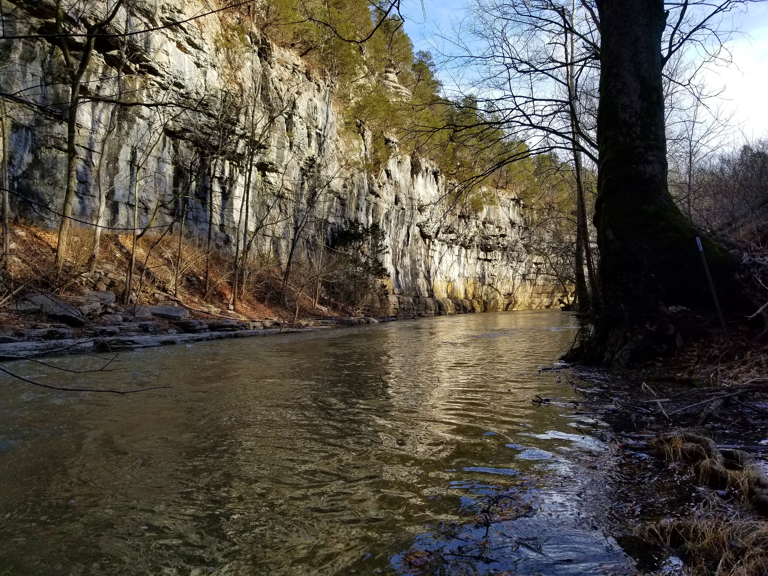
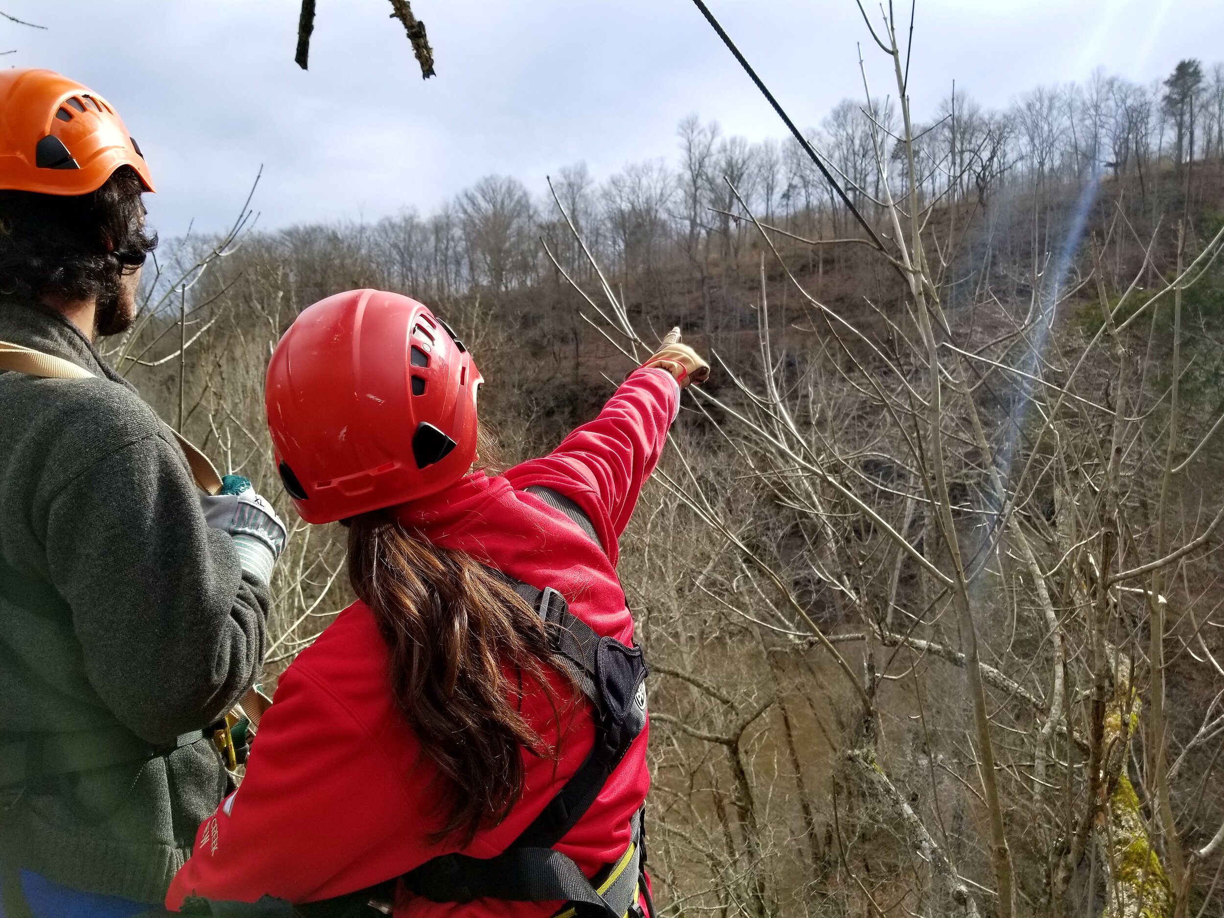
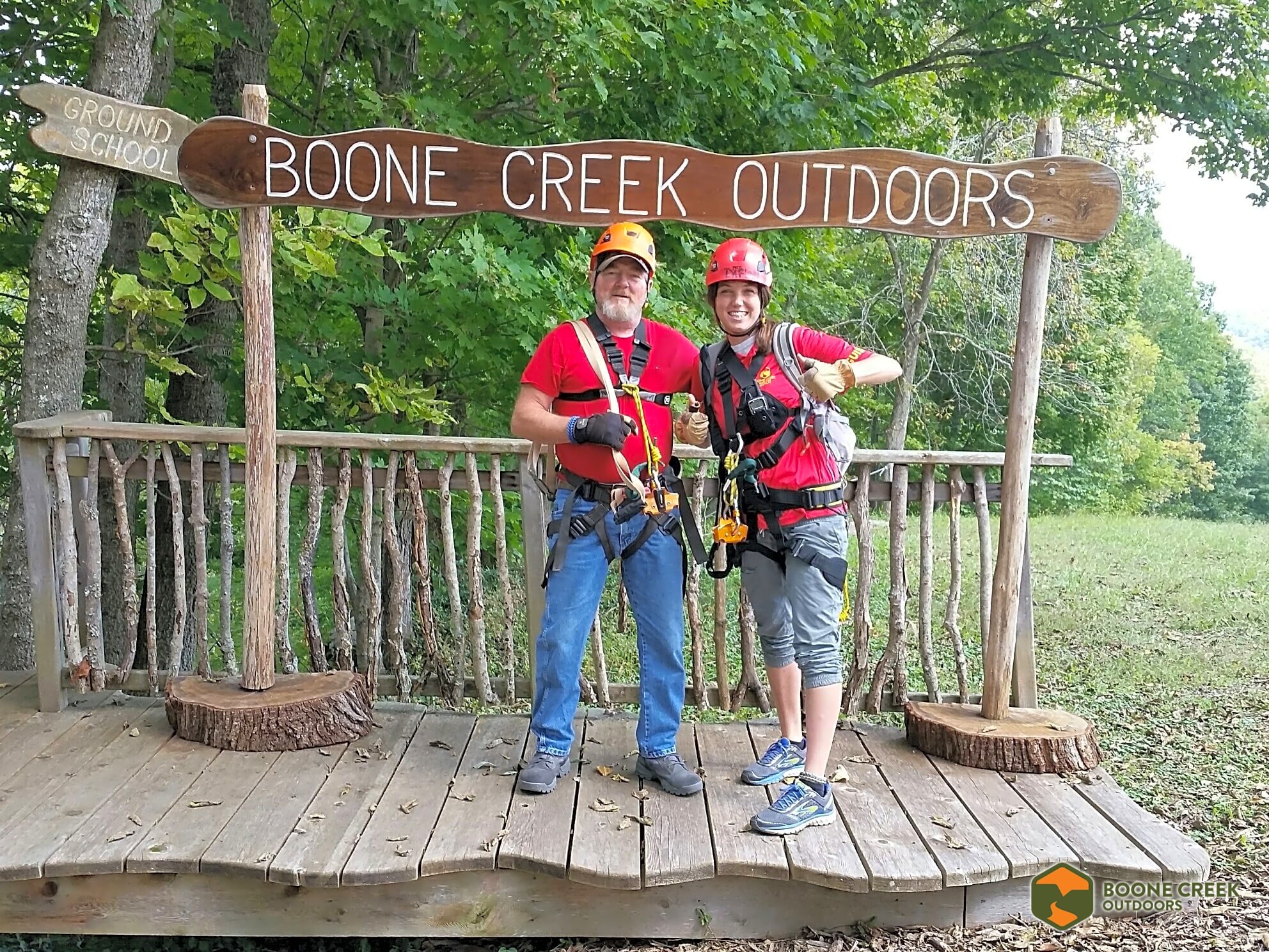
Lexington, Ky. - Course and educational program development for zipline canopy tours along the Kentucky River for guests of all ages. Routinely lead groups of 10+ while implementing high standards of safety and rescue. Mitigated physical risk by inspecting safety equipment and demonstrating operational use to guests. Managed emotional risk by effectively communicating with participants and creating a welcome, fun, and safe social environment while on the course. Developed skills in zipline course and trail maintenance, safety and rescue training, and acquired high ropes challenge course certification (ACCT).
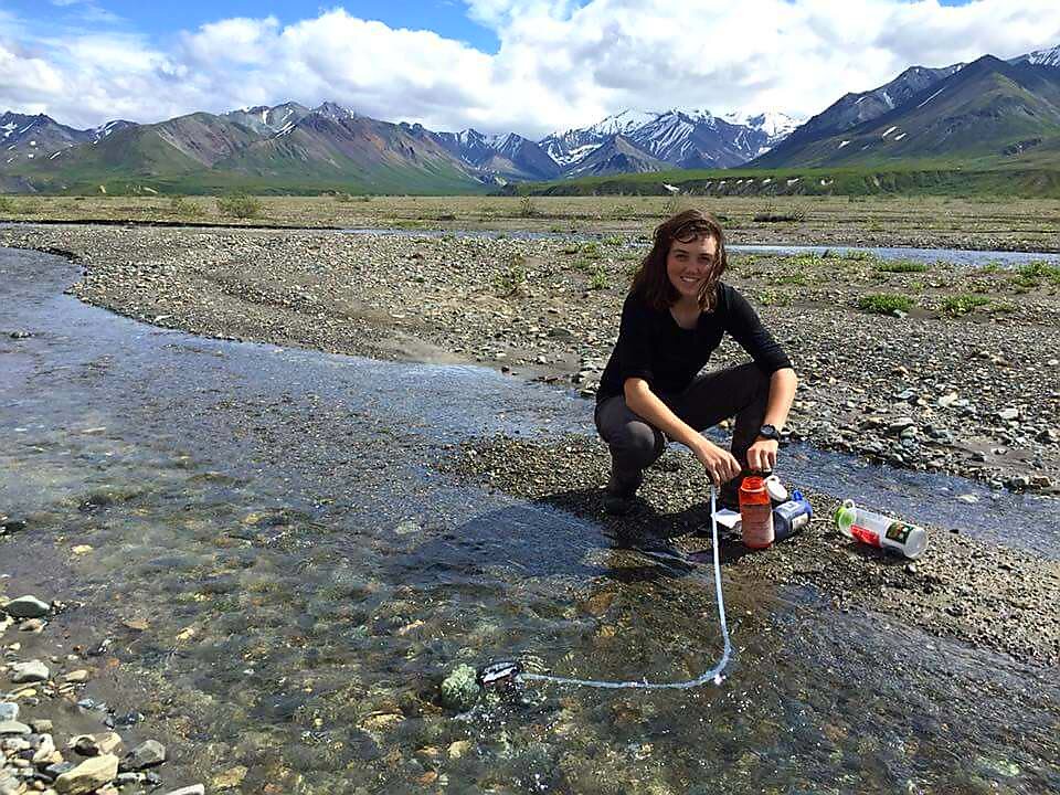
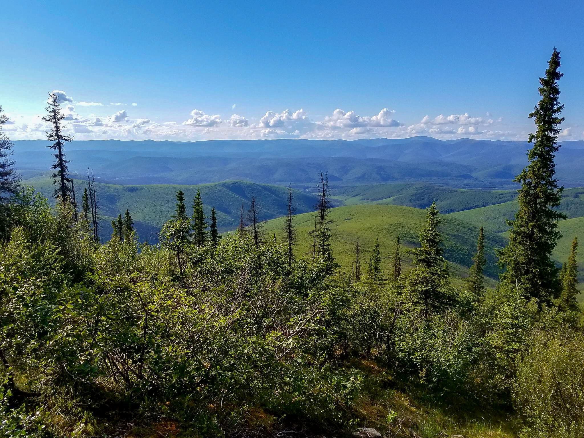
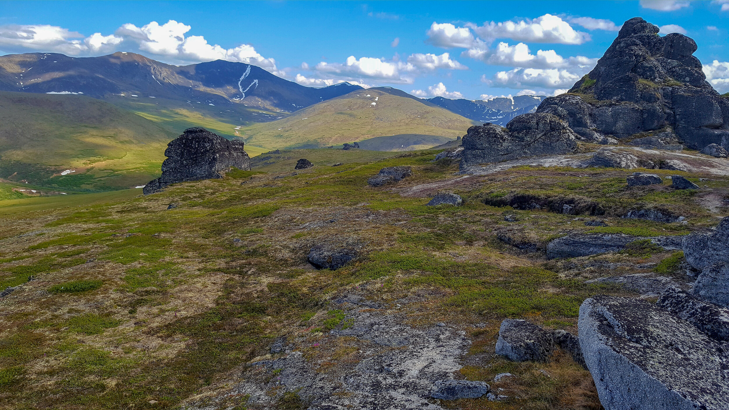
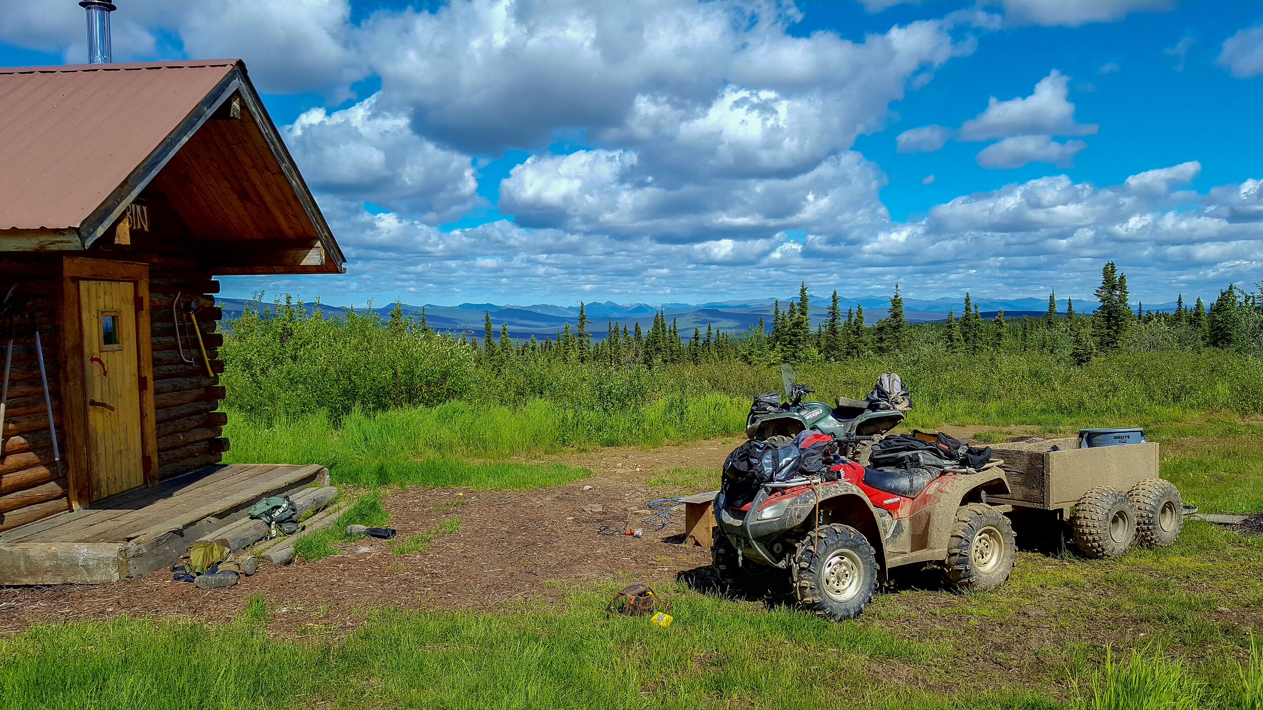
Soil Scientist & OUtdoor recreation planner
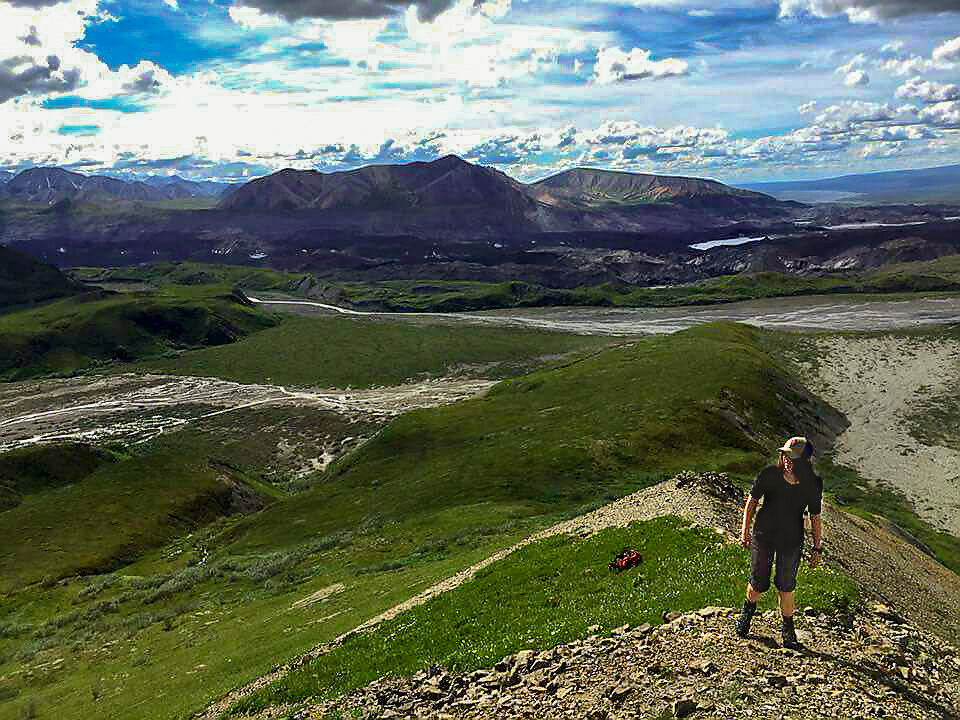
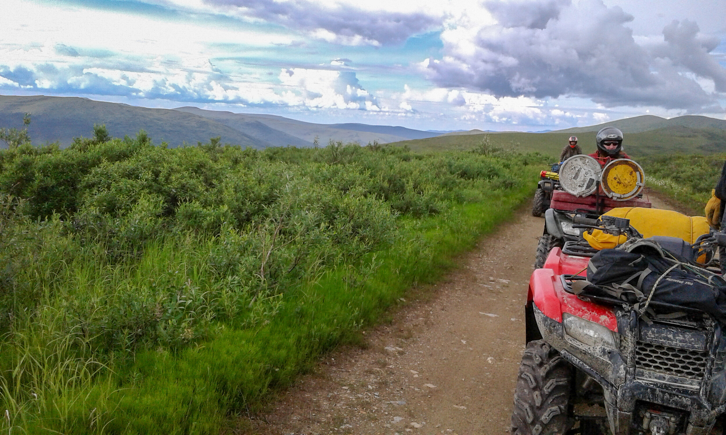
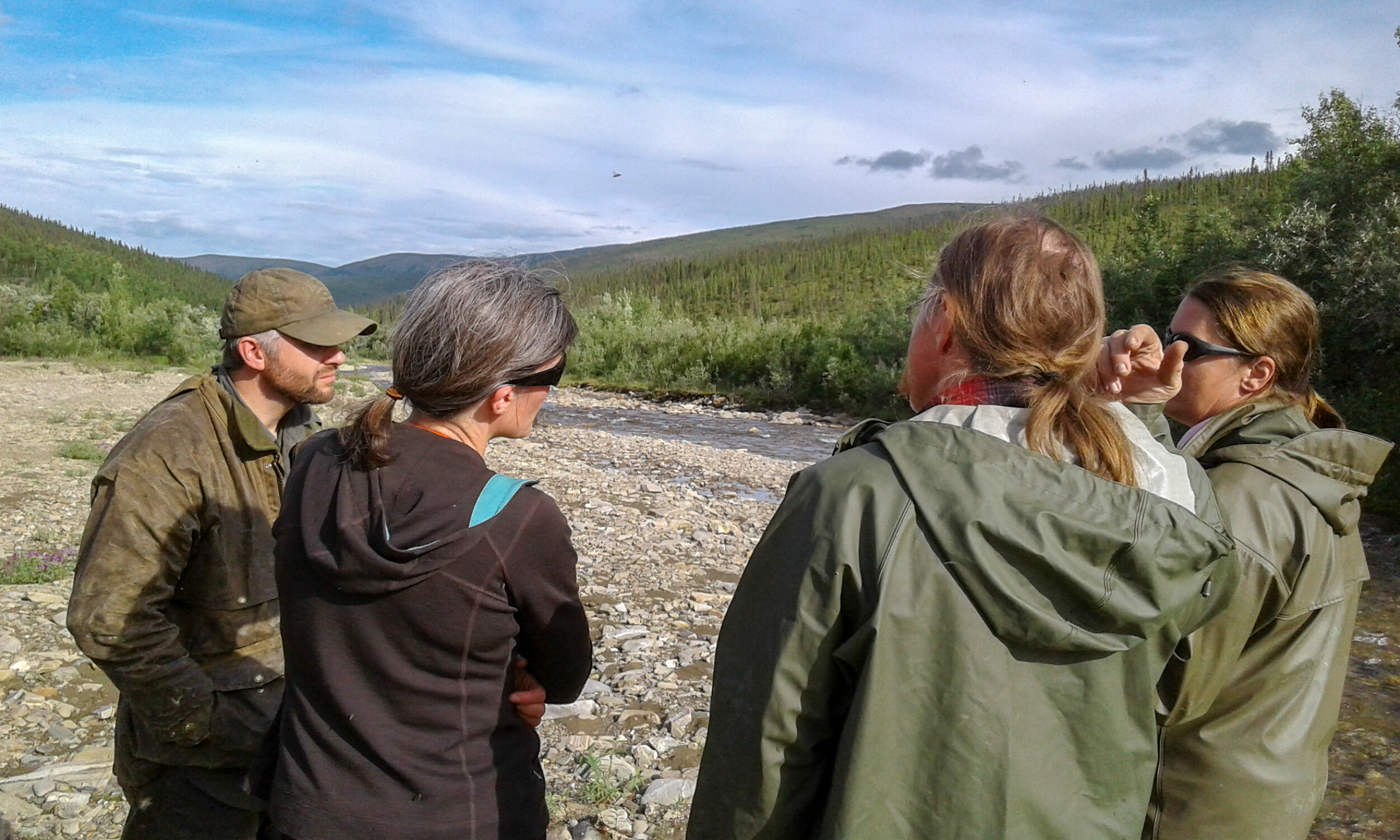
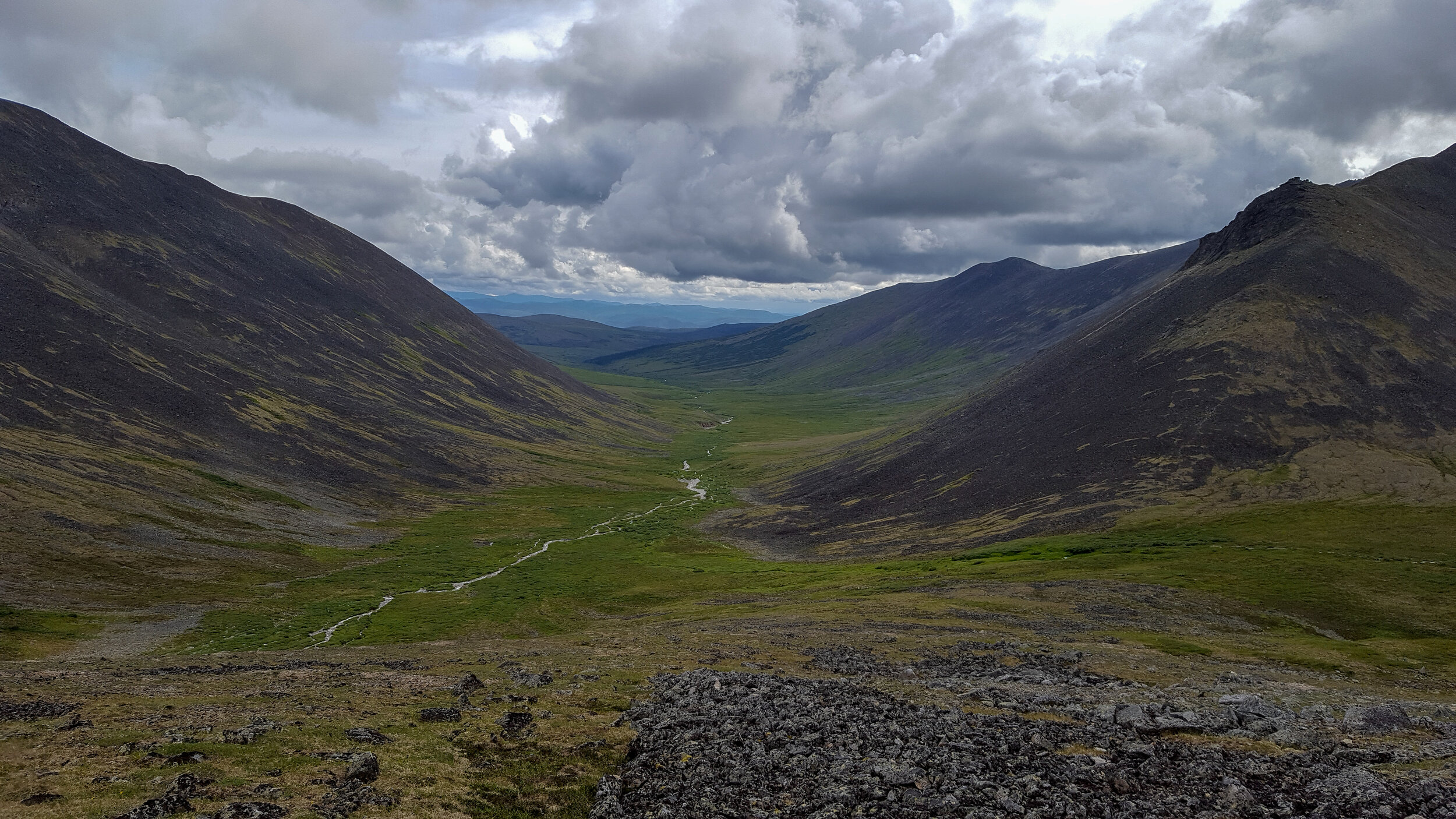
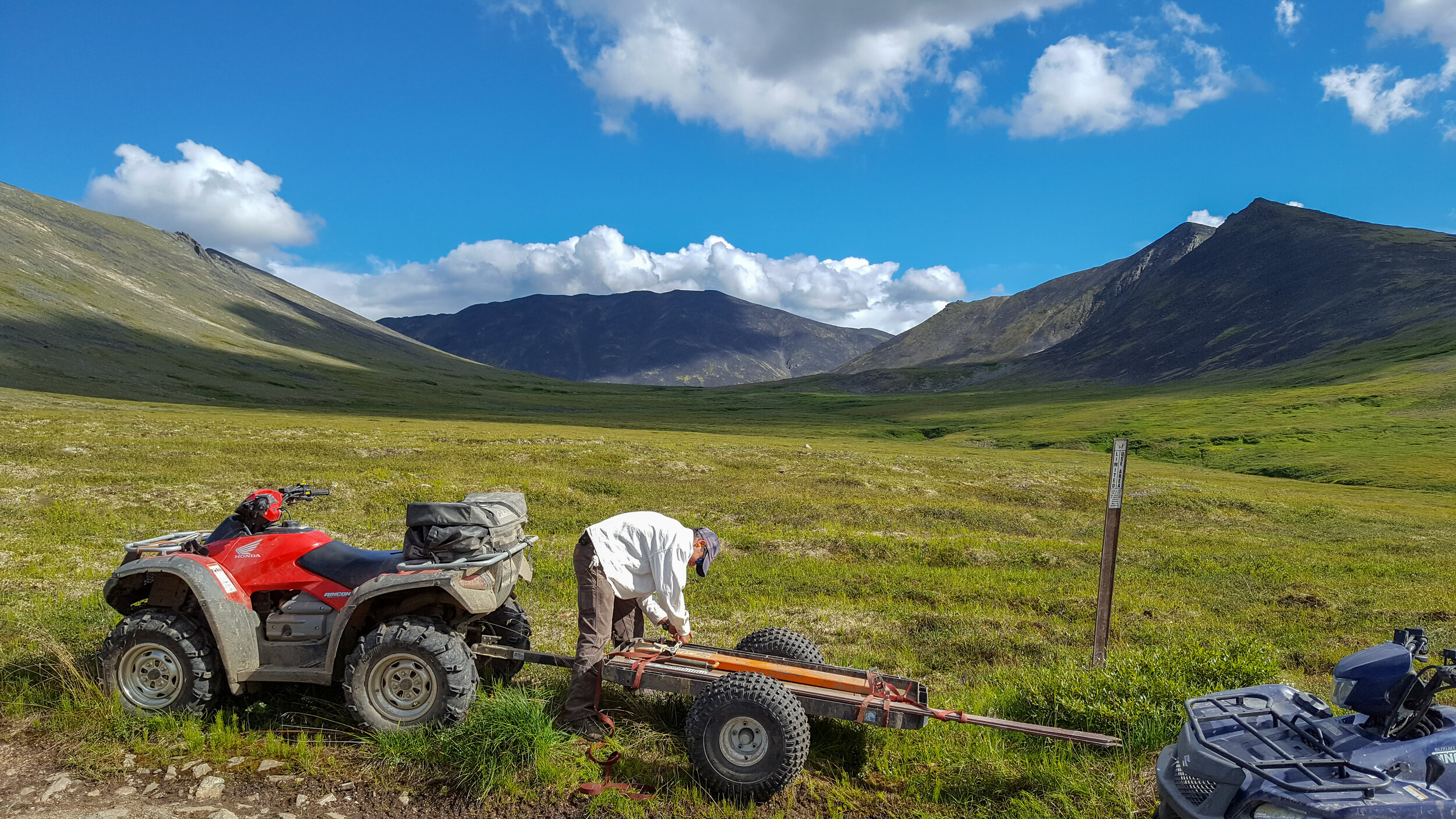
GSA GeoCorp - Bureau of Land Management (May 2016 - September 2016)
Fairbanks, AK - Based at the Eastern Interior Field Office (EIFO) in Fairbanks, I coordinated outdoor recreation management plans as they appealed to soil and watershed conservation management practices with a team in the White Mountains National Recreation Area (WMNRA), Steese National Conservation Area, and Birch and Beaver National Wild Scenic Rivers. I wrote an Environmental Assessment report that proposed safely developing a new trail to Mt. Prindle in accordance with soil erosion and watershed sedimentation mitigations. I assisted engineers with surveying projects to develop a detailed digital elevation analysis using differential leveling at various field sites. I worked with hydrologists on Jack Wade Creek for mining reclamation efforts by installing a solar gage station and manually collecting water quality and cross-sectional data for the stream. I assisted a waste and hazardous material scientist to formulate plans for reclaiming streams adjacent to abandoned gold mining operations. I worked with a fire specialist to coordinate an Alaska Fire Service Crew at Fort Egbert in Eagle to mitigate the intense wildfire risk by implementing a controlled tree and debris removal. During this time, I also managed the efforts of an SCA (Student Conservation Association) Trail Crew to control erosion on several hiking and ATV trails in the WMNRA. Utilizing my advanced understanding of soil science and hydrology, we were able to identify at-risk zones in the local watersheds and use heavy machinery and backcountry tools to control and protect those areas by employing senior trail design practices to prevent turbid water from entering the drainage system and potentially impacting the delicate fish habitat and water quality. These practices included building rolling grade dips, outsloping, and properly aligning switchbacks. I also helped our team maintain the main road running through the WMNRA, Nome Creek Road, by utilizing heavy machinery and power tools to lay and grade fresh gravel. I went on a two-week backcountry expedition that consisted of floating down the Birch and Beaver Wild Scenic Rivers to record any sites that displayed signs of excessive human activity, large and abandoned mining materials, and potential cultural sites that might require further preservation and verify there was no illegal recreational activity occurring without permits. I acquired basic carpentry skills during the construction and restoration of various backcountry public structures.
Student Researcher
Pioneer Paleolimnology Lab - UK Dept. of Earth and Environmental Sciences (January 2016 - September 2017)
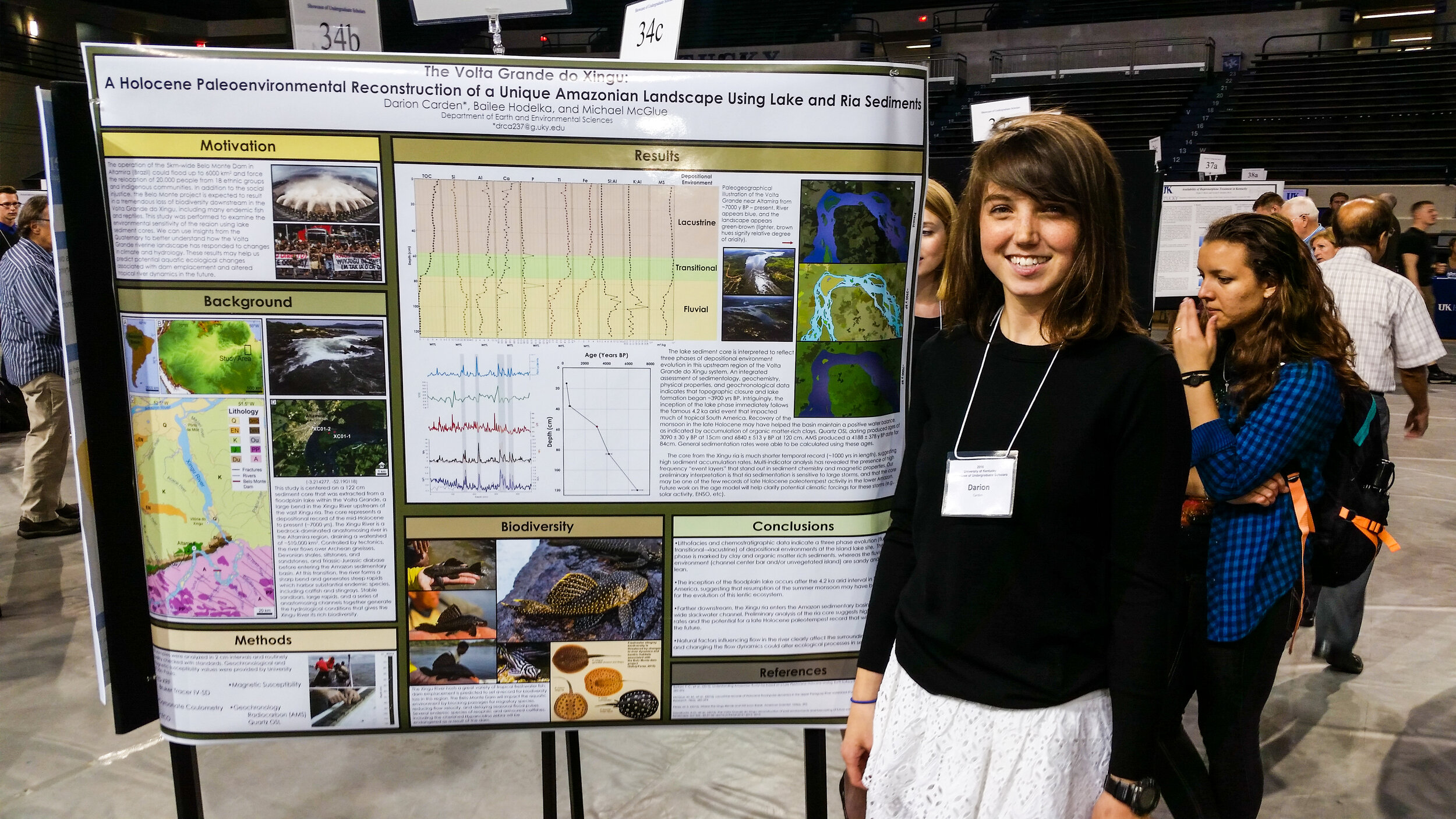
Lexington, Ky. - Describing the paleolimnology and river geomorphology of east African watersheds and downstream portions of the Amazonian basin. Project methods utilize various GIS and remote sensing softwares. Duties involve interpreting XRF elemental analyses and performing LECO and coulometric processes for extracting carbon compositions and integrating geochronological and magnetic susceptibility values for interpretation. I presented a poster for my research on a subwatershed in the Amazon basin at an undergraduate research conference.
Data Entry Specialist
Kentucky Geological Survey - Oil and Gas Division (January 2015 - May 2015)
Lexington, Ky. - Organizing and entering data by digitizing well logs and documents for developing a comprehensive online database in the Oil and Gas department.The publicly accessible repository provides subsurface geologic data and energy resource information that is utilized by industry experts for resource exploration and development and by government agencies to enforce environmental protection regulations.
Stable isotopes in water are affected by meteorological regimes and atmospheric conditions that can provide a unique identifier of their origin. Analyzing the composition, concentration, and stratigraphic distribution of δ18O in ice cores is an effective method for paleoclimate reconstructions that has been demonstrated in numerous sites, most famously in the ice sheets of Antarctica and Greenland, but in small alpine glaciers as well (e.g., the high Andes). δ18O in well-preserved ice can be used as a proxy for temperature, and with ancillary geochemical data for piecing together a record of hydroclimate change. Prior to the research that was conducted in the Wind River Range (WY), mid-latitude glaciers were thought to have minimal potential to reveal reliable information on paleoclimate. The uncertainties are generally attributed to meltwater percolation effects and the broad range of oxygen isotope abundances as a response to higher seasonal variability in these regions. In this paper, I discuss: (a) the basic processes and controls of oxygen isotope speciation, (b) paleoclimate applications of δ18O to polar ice sheets, (c) the motivation behind applying δ18O geochemistry to ice cores from the Wind River Range, (d) the calibration and geochronology methods specifically used in these mid-latitude glaciers, and (e) key evidence of the Little Ice Age from Wind River ice cores, including a the development of a refined age-model created from δ18O and electrical conductivity measurements, and a transfer-function used to establish mean annual temperature changes using δ18O.
SEDIMENT BUDGET ANALYSIS: LOUISVILLE YACHT CLUB MARINA
In this report, a sediment budget analysis is being performed for the Louisville Yacht Club Marina in Louisville, Kentucky. Using a number of tracers contained within sediment at the Yacht Club location, we will be performing an analysis to determine from which sources sediment is being eroded and ultimately deposited at the location of interest. We have identified the Ohio River and Pond Creek as sources in this analysis. Using samples from the Yacht Club and these two sources, we aim to determine through statistical means (t-testing) which tracers we can best help us identify the proportions of sediment from each source that are contributing to the total. Iron, Potassium, Nickle, and Zinc were identified as tracers that could be used in a simple unmixing model to ultimately identify the proportions of sediment being contributed to the deposition at the Yacht Club. This process concluded that roughly 30% of that sediment was contributed from the Ohio River, and roughly 70% was being contributed by Pond Creek. Leading to the conclusion of Pond Creek being the dominant source of sediment load production, using that we calculate the sediment yield for the marina.
A HOLOCENE PALEOENVIRONMENTAL RECONSTRUCTION OF A UNIQUE AMAZONIAN LANDSCAPE USING LAKE AND RIA SEDIMENTS
The Xingu River is the third largest tributary to the Amazon River and the second largest clear water river system in South America. Climate change and the impending construction of the Belo Monte dam pose complex threats to the Xingu River, its biodiversity, and the people that rely on its ecosystem services. However, the late Quaternary history of this lower Amazonian landscape is largely unknown, and therefore the response of the region to future environmental change is unclear. This study is centered on a 122 cm sediment core that was extracted from a floodplain lake within the Volta Grande, a large bend in the Xingu River upstream of the prominent Xingu ria. Here, we integrate sedimentological, geochemical, and chronological data to determine how this lake has evolved, which may improve predictions of how the Xingu River system will respond to disturbances in the Anthropocene. The sediment core was dated using radiocarbon and optically stimulated luminescence techniques. A multi-proxy analysis of the core involved measuring magnetic susceptibility, carbonate coulometry, total organic carbon, and major and trace element geochemistry from energy dispersive x-ray fluorescence. Data was collected at a 2 cm interval, in order to capture variability with high resolution. By incorporating multiple approaches to sediment analysis, the capacity to evaluate geomorphological and paleoenvironmental change is greatly increased. The core represents a depositional record of the mid-Holocene to present (~7000 yrs). Lithostratigraphic, geochemical, magnetic data indicate that topographic closure and lake formation was achieved by ~4800 yrs BP. Three chemostratigraphic units have been interpreted for the late Holocene lake phase, which likely reflect the response of the basin to changes in fluvial dynamics, climate, and human-landscape interactions. The data produced from this research will serve as a reference point for the impacts of large hydropower projects on tropical rivers and their aquatic ecosystems.
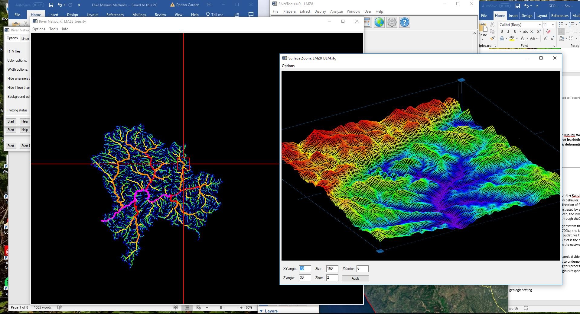
EXPLORING CHANNEL AND TOPOGRAPHIC CHARACTERISTICS RELATED TO TECTONIC DEFORMATION IN THE RUHUHU RIVER, TANZANIA
Lake Malawi exhibited an open hydrologic system that was present even during dry, shallow periods prior to 800ka. Following the lake level transition around 700ka, the lake deepened and became more hydrologically closed with the exception of a single outlet, via the Shire River in the southernmost region. The most feasible candidate for an earlier outlet is the current influent and rift-antecedent Ruhuhu River (Ivory et al., 2016). It was hypothesized (Ivory et al., 2016) that an uplift occurred 700-800ka and altered the direction of flow in the river. For a given tectonic uplift, when one side of the tectonic divide rises, the other side is lowered which reduces the relative base level. After the uplift surfaced, the lake deepened until it reached the modern outlet in the Shire River, where it presently drains through the Zambezi River to the Indian Ocean.
Demonstrated by evidence found in the aquatic evolution of Lake Malawi, the present day Ruhuhu River inlet once served as the outlet and connected the rift lake to the Indian ocean (Ivory et al., 2016). By performing analyses on the Ruhuhu River watershed, we can determine if there are tectonic controls impacting the river’s flow behavior. Digital elevation models (DEM) provided by satellite imagery data will be utilized to assess the fluvial patterns and landform characteristics for evidence of tectonic deformation to test the hypothesis that a structural uplift in the Ruhuhu watershed was responsible for the change in Lake Malawi’s hydrology and biodiversity.
STREAM CHANNEL RESPONSES TO INCREASED NONPOINT SOURCE POLLUTION: A SPATIAL ANALYSIS OF THE RED RIVER GORGE WATERSHED
Throughout the state, the Kentucky Division of Water has recognized several watersheds in need of urgent restoration (Figure 1). This status is a result of at least one nonpoint source pollution such as urban runoff, failed septic systems, agriculture, and surface mining. Among this list is the Red River Gorge Watershed, covering ~148 mi^2. Within the drainage area, pathogens introduced by illegal dumping, loss of streamside vegetation, erosion, and runoff from towns, fields, surface mines, and mills threaten public health. KDOW has attributed the poor water quality to sources of increased sedimentation, impairing the aquatic habitat of local headwater tributaries. This project aims to define probable cause of increased sedimentation to unregulated outdoor regulation and other regional land uses as a function of the regional geology. Evident in Figure 2 and Figure 3, most portions of USFS designated trails lie on the more resistant upper Mississippian and Pennsylvanian formations. In Figure 4, however, the trails lying among seemingly resistant strata are actually lying amid a very expansive region characterized by risk of landslides and slope instability. Figure 5 illustrates the regional surface gradient, supporting the risk of slope failures as well as showing the range of elevation the trails actually occupy. In Figure 2, concentrations of barren land and forested regions provide evidence for trail popularity, land use, and stream channel responses to increased sedimentation sources. Where the park is largely accessible, there will be increased impacts of downstream aquatic habitat impairment, sediment production, runoff, and bank destabilization.
OBSERVING POTENTIAL SOURCES AND IMPACTS OF RECREATIONAL ACTIVITY CAUSED SEDIMENTATION IN THE RED RIVER GORGE, KY
Involvement in recreational activities is growing in popularity. In 1999, a national survey revealed that hiking was the most popular form of outdoor recreation engaged by 67% of Americans (Cordell, 1999). In 2012, the outdoor recreation economy grew 5% annually between 2005-2011, a time of economic recession when many industries contracted. The importance of understanding the connection of land use and presence in the environment is increasing as the efforts to preserve forested and wild lands are impacted by encroaching development and rising tourism. Characterized by its geology and sandstone arches, Red River Gorge Geological Area is internationally recognized for its rock climbing opportunities. Red River Gorge is a National Natural Landmark and Historic District of Daniel Boone National Forest, comprising several congressional designations including a National Wild and Scenic River, National Scenic Byway, and Wilderness. Described by the geographic distribution of geologic formations, the overall rugged terrain and erodible shale and siltstone units support high levels of natural erosion without human disturbance. The purpose of this project was to estimate the bed load sediment storage of point bars along the most popular stretch of the river and be able to make interpretations on the intensity unregulated hiking and camping activities have on the river’s channel stability and erosion.
EXPLORING SHORELINE MIGRATION AND SEDIMENT PLUME AREA ALONG THE OUTLET OF THE RUHUHU RIVER WATERSHED, TANZANIA
Digital elevation data studied in this project was obtained from the NASA Shuttle Radar Topographic Mission (SRTM) database that is distributed by USGS. The highest resolution data for eastern Africa has a 3 arc-second resolution (approx. 90m) and is formatted in 5 deg x 5 deg tiles. The files are georeferenced to the WGS84 datum. Aerial imagery provided by Landsat 4-5TM C-1 Level-1 was displayed in false colour composite to assess the difference in sediment plume pixels from the pixels that made up the rest of Lake Malawi. Eight datasets were acquired from earthexplorer.usgs.gov for images that only had less than 10% cloud cover, acquisition time was during the day, and the data were also limited to summer months. Limiting the data to summer months reduces sources of inaccuracy by removing any seasonal variation of sediment supply within the river. Shoreline data was traced along the eastern margin of the lake for each of the 8 datasets. Sediment plume polygons were mapped over lighter-blue/cyan pixels just beyond the outlet of the river. The polygons were developed this way to ensure maximum control of where the outlet began from the shoreline.
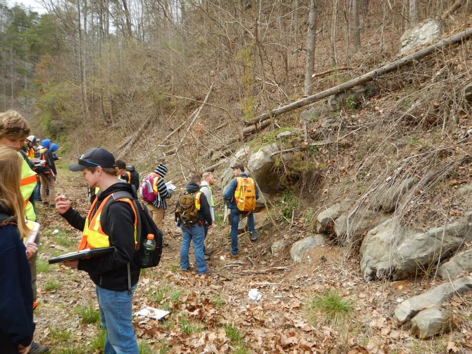
DESCRIBING THE HISTORY AND ORIGIN OF CARBONATE MUD MOUNDS IN SOUTHERN KY
The objective was to determine the history and origin of facies present in a specific carbonate mud mound outcrop in south-central Kentucky. By integrating our knowledge of the regional geological history of the Neoacadian Orogeny, concepts of basement uplift and sea level transgression, and sediment delivery mechanisms that might have existed in the channel at the time of deposition, we could incorporate field observations to determine the origin of the structure. Field observations involved characterizing representative sections of the outcrop, measuring, describing, and photographing the exposed area. Sedimentological, paleontological, and stratigraphic data including lithologies, biogenic structures, fossil fragments, and textures were carefully noted. The field notes were used to develop a representative stratigraphic column.
Featured Field Experiences
Continental Divide Trail: (Summer 2019)
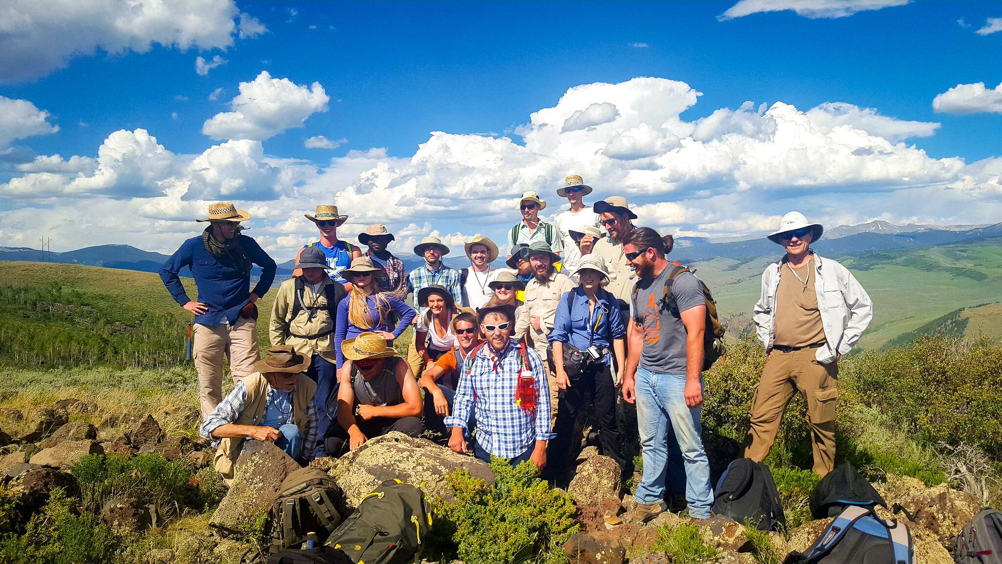
Geology Field Camp: (Summer 2017)
EES 323 - Geologic mapping in the field for a six-week period primarily based out of Gunnison, Colorado. Description, measurement, and mapping of a wide variety of rocks and structures, and analysis of geologic events in mountainous regions of the Rockies. Involves preparing intensive geologic field reports and maps under strict deadlines and in outdoor conditions.
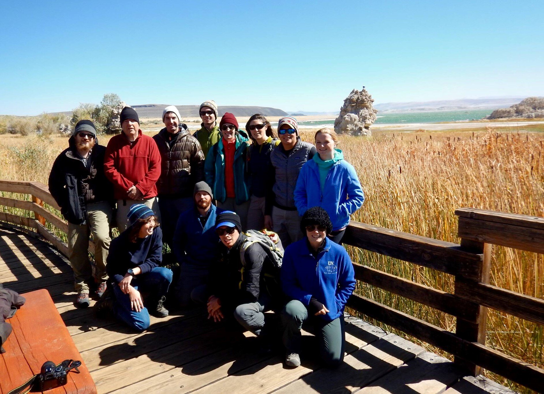
June Lake, Eastern Sierra Nevada (CA): Applied Geophysics Class (Fall 2016)
A graduate level Applied Geophysics class spent a week at June Lake in the Eastern Sierra Nevada where I was a part of a team responsible for gathering seismic surveys (Chirp sonar and side scan of lake perimeter, collecting short and long cores from a UWITEC barge, collecting ponar lake surface sediment samples, water chemistry data, and terrestrial and aquatic shoreline vegetation samples. The data was used for a basin analysis project and interpreting the regional glacial lacustrine processes that are exhibited in this lake. In addition to field duties, I personally collected video and photo documentation of the trip that was later used for promotional purposes at events associated with the college. I also developed the geospatial figures using ArcGIS to visually illustrate geographic concepts surrounding the lake.
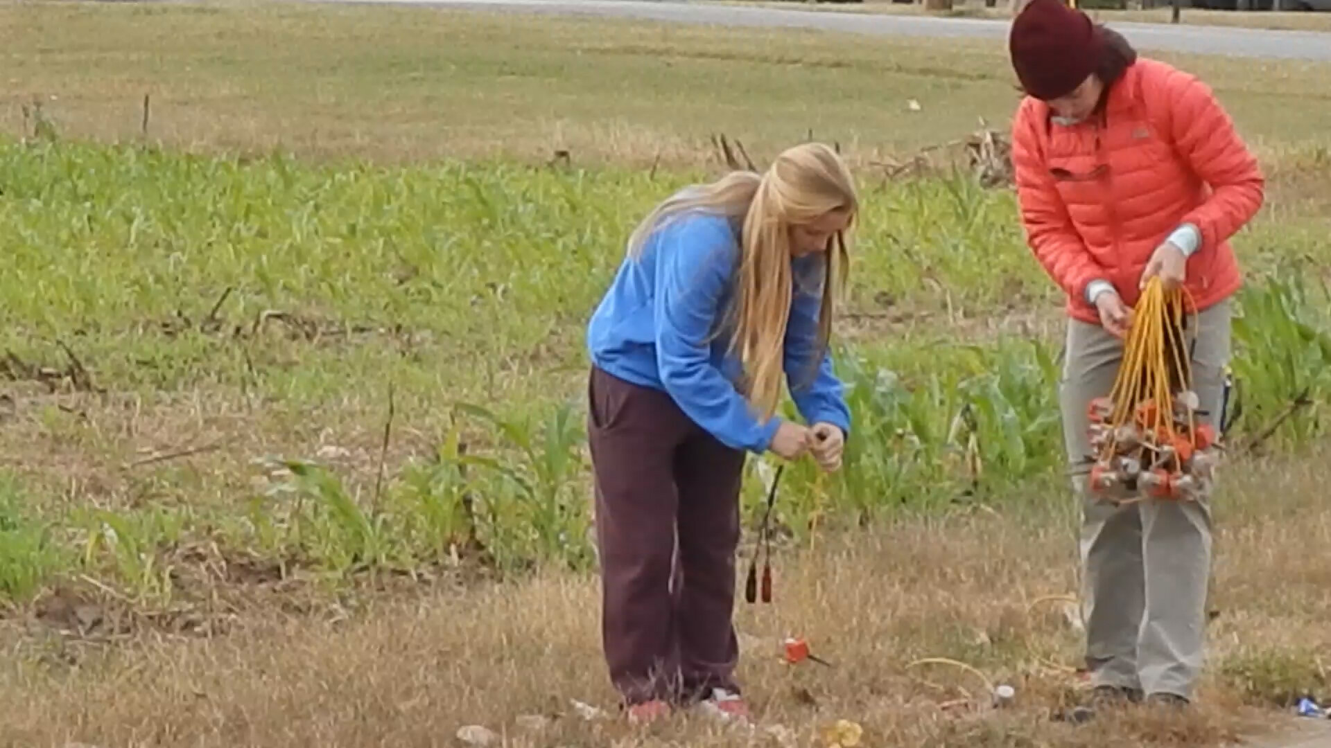
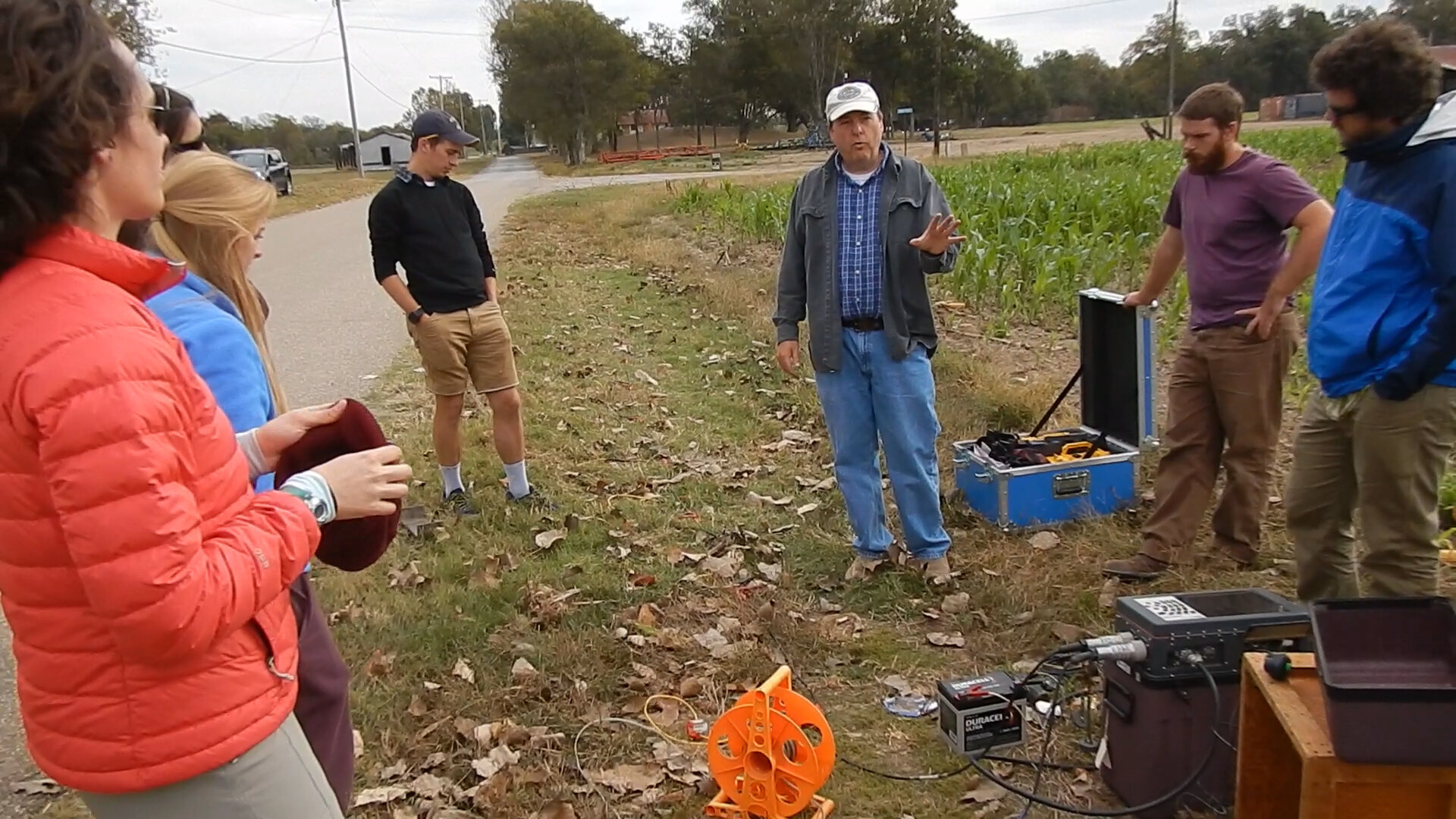
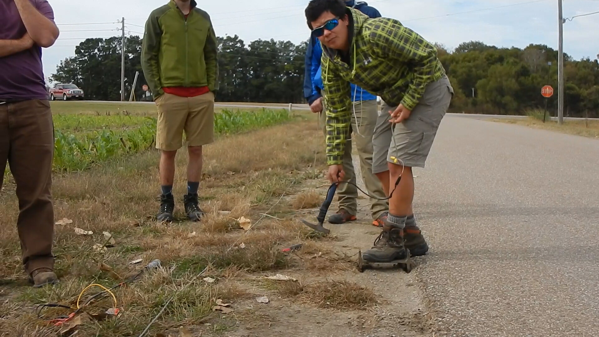
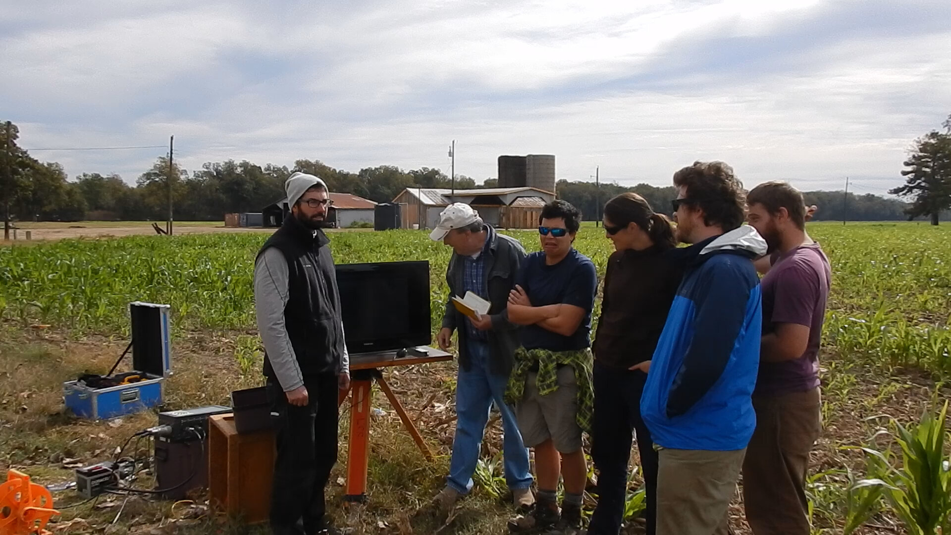
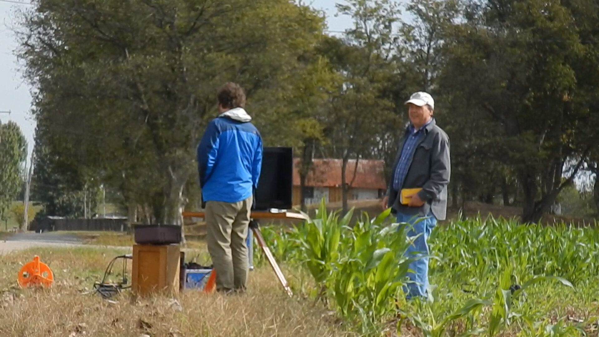
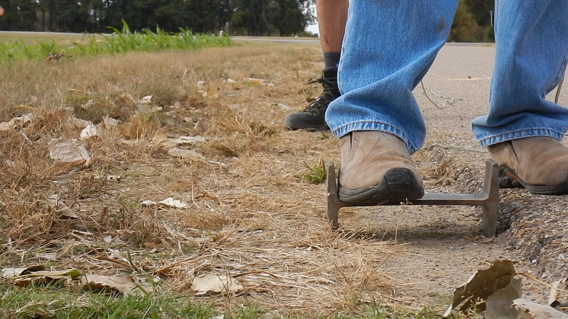
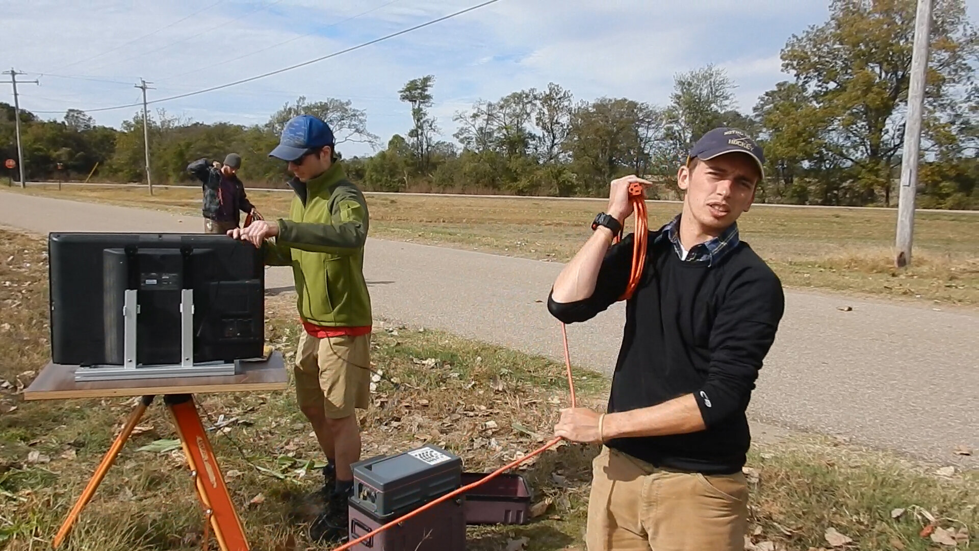
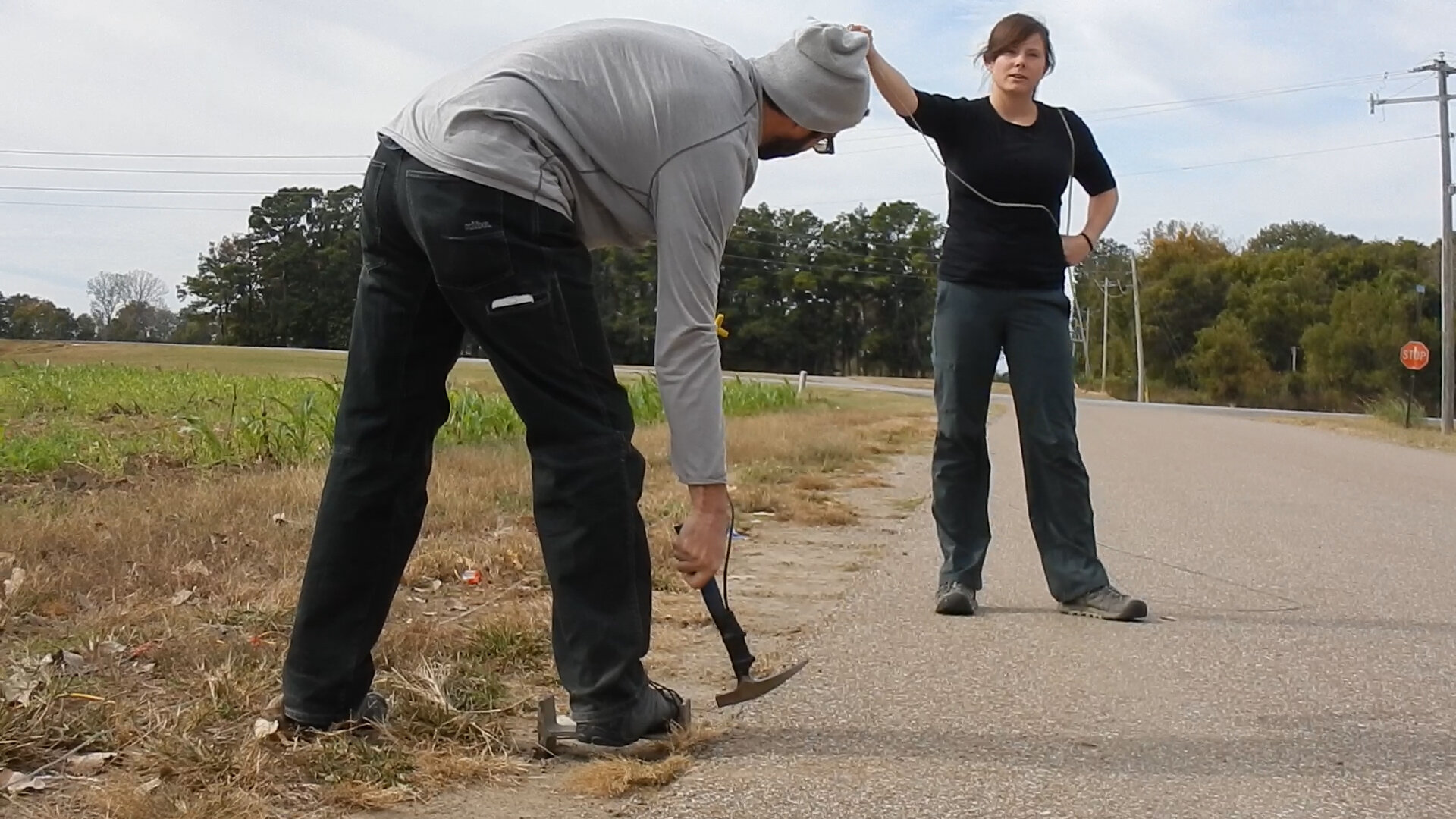
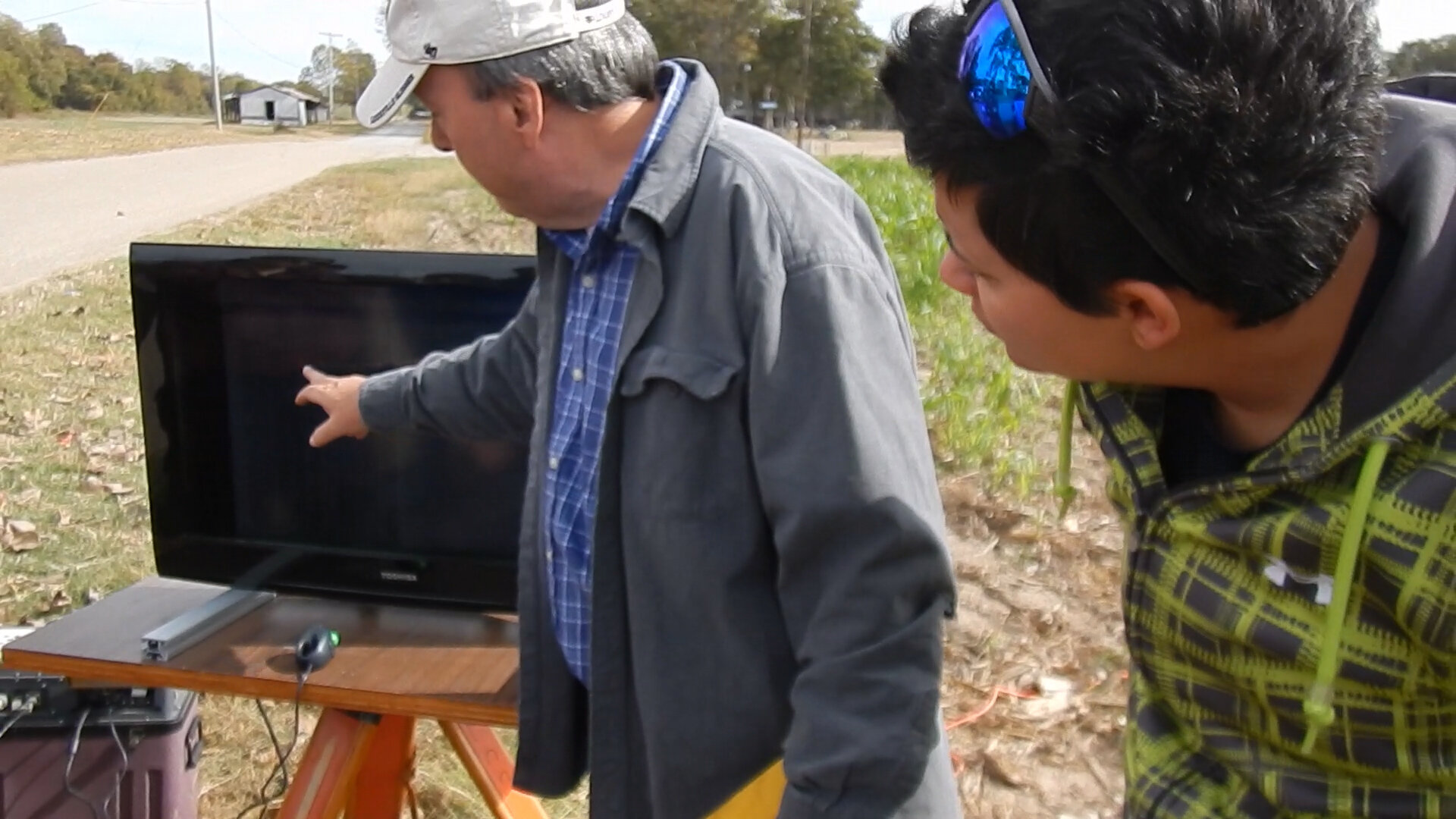
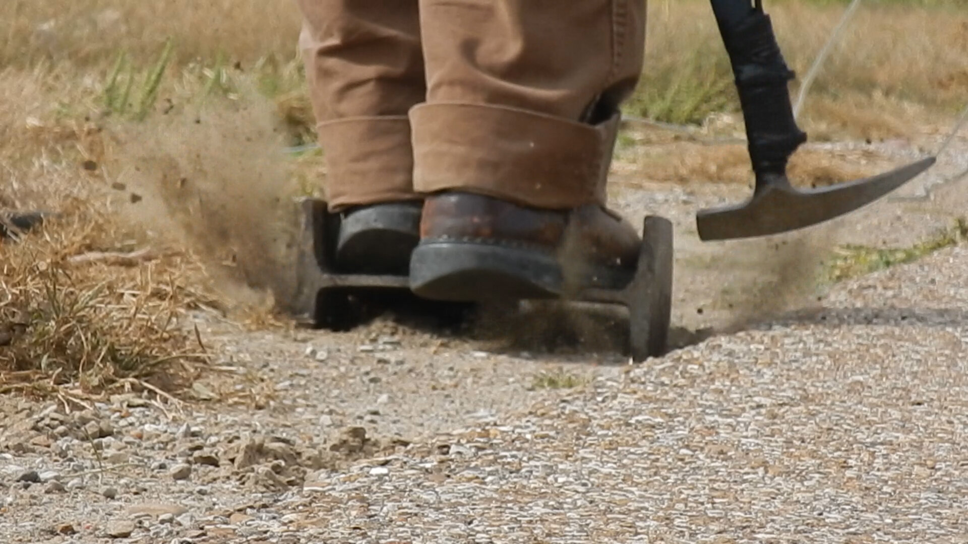
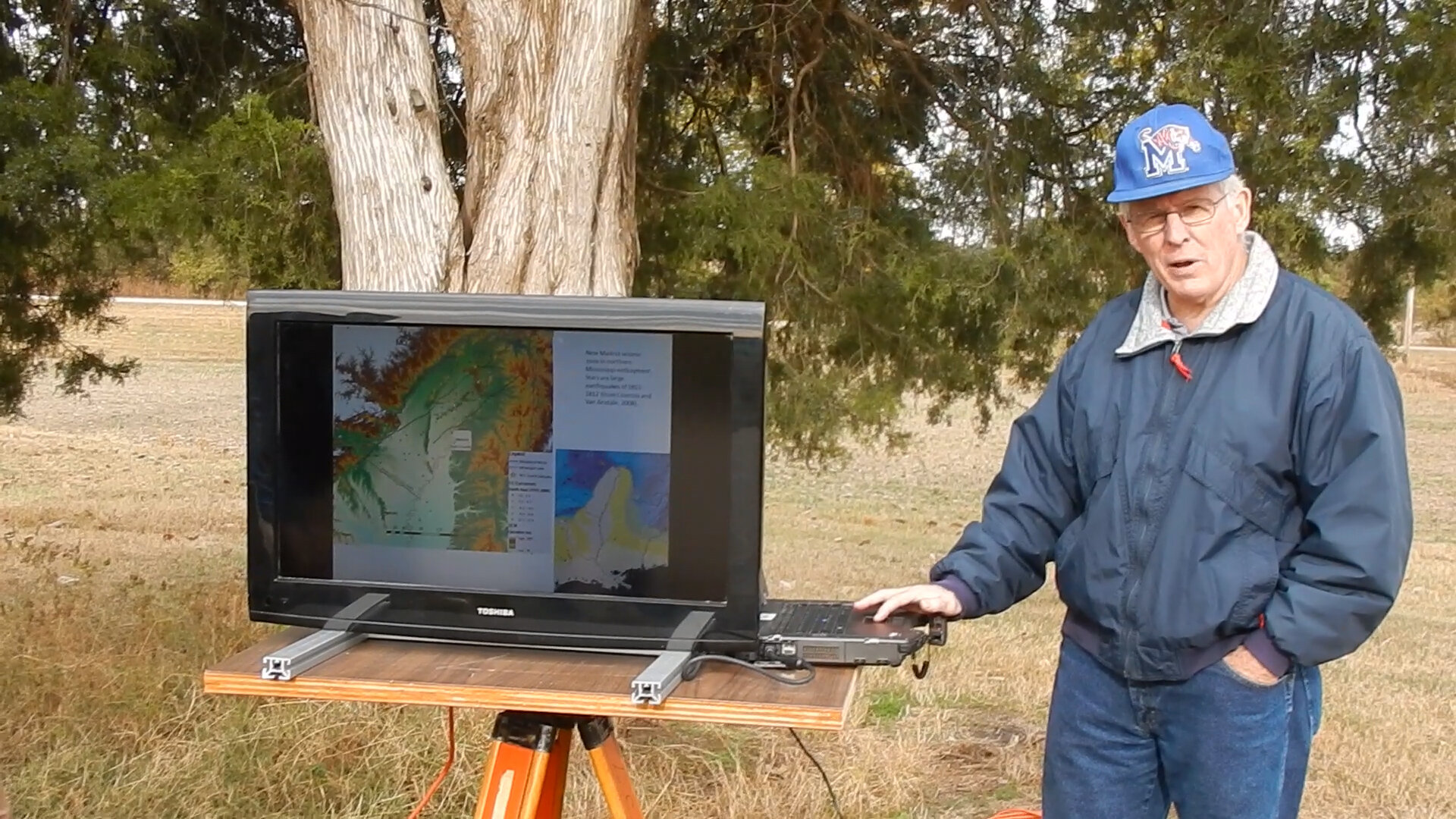
Seismic Survey of the Arkansas Lowlands (Meeman-Shelby): (Fall 2016)
Trenching at Bald Head Island: (Spring 2016)
Field experience acquired at the outer banks of North Carolina on Bald Head Island where the class spent a week studying the occurrence and depositional processes of modern and ancient clastic shorelines and estuaries. Duties involved trenching the shoreline and coastal dunes to create a full transect.


Coring and Seismic Surveying at Convict Lake, Eastern Sierra Nevada (CA): (Summer 2018)
A team of graduate students and myself (titled Field Technician) under the direction of paleolimnologists and seismologists spent 4 weeks on Convict Lake of Mammoth Lakes, California in the Eastern Sierra Nevada collecting seismic surveys, long cores from a UWITEC barge, ponar lake surface sediment samples, and water chemistry data. The lake sediment data collected was representative of 16,000 years of environmental change and was analyzed and interpreted to reconstruct the changes in climate and vegetation in the Eastern Sierra Nevada.
Formative Classes
Applied Geophysics in Glacial and Quaternary Geology (UK - EES 480/625 - Fall 2016)
An advanced concepts class designed to utilize the principles of applied geophysical research for seismic reflection acquisition, processing, and interpretation. Focus on glacial and Quaternary geology by acquiring geophysical images of shallow stratigraphy in formerly glaciated terranes in the eastern Sierras of California and fluvial deposits in Arkansas (Meeman-Shelby site). Through this applied course, I was trained in geophysical imaging techniques and using sediment coring to provide ground truth for acoustic data and using an integrated toolkit to gain an understanding of the different depositional environments throughout recent geological history.
Geochemistry (UNH - ESCI 841 - Fall 2019)
Course focuses on the application of chemical principles to solve problems in the Earth sciences. Students learn the chemical tools of thermodynamics and kinetics, element partitioning, conservation of mass, and isotope geochemistry. Explore geochemical properties/processes in the deep Earth and the Earth surface, atmosphere and marine systems, and cosmo-chemistry and investigate the interactions between these components of the Earth system.
Stratigraphy (UK - EES 555 - Spring 2016)
An advanced concepts class where I developed my knowledge in the principles of stratigraphy, depositional systems, sequence stratigraphy, and the tectonic framework of sedimentation. By thoroughly examining siliciclastic depositional systems (continental and marine) and facies models associated with each environment, I was able to advance my understanding of sedimentary processes and products. Explored methods for analyzing the stratigraphic record, including lithostratigraphy, sequence stratigraphy, and chemostratigraphy. Sequence stratigraphy was particularly emphasized given its applications in searching for petroleum accumulations. Developed skills in stratigraphic interpretation of cores, seismic reflection, and outcrop photomosaic datasets. Field experience acquired at the outer banks of North Carolina on Bald Head Island where the class spent a week studying the occurrence and depositional processes of modern and ancient clastic shorelines and estuaries.
Advanced GIS (UNH - ESCI 877 - Fall 2019)
Geospatial technologies provide insight into spatial and temporal aspects of environmental and earth systems. Students will master basic skills in geographical information systems and build upon a foundation of conceptual knowledge and data processing skills. Additional work will develop introductory Python programming skills.The course provides limited instruction and encourages the student to troubleshoot and problem solve independently.
Geodynamics (UK - EES 490 - Spring 2017)
Application of quantitative methods to geologically motivated problems, focusing on lithospheric deformation, topography, and fluid flow. Students acquire geophysical and geochemical techniques used to address dynamics in the Earth system.
Remote Sensing (UK - GEO 419 - Fall 2017)
An advanced course aimed at GIS professionals or students with a large background in GIS that introduced the basics of remote sensing, remote sensor characteristics, and the academic and industrial applications. The course heavily emphasized image acquisition, data collection as it pertains to the electromagnetic spectrum and energy interactions with the atmosphere and Earth’s surface, and data manipulation for imagery analysis. ERDAS Imagine was the computer software used for in-class and project based analyses.
Watershed Sedimentation (UK - CE 547 - Fall 2016)
Offered by the Civil Engineering department at UK, the objective of this upper-level course is to establish an understanding of watershed sedimentation including: (1) erosion and sediment transport processes; (2) measuring the sediment budget for a watershed using sediment fingerprinting; and (3) using hydrologic-based modeling tools to predict sediment loading in watersheds with different human disturbances. The course emphasizes a data-driven approach for identifying sediments of various sources in a watershed through the use of natural carbon and nitrogen isotopic tracer measurements in sediment fingerprinting.
Fluvial Forms & Processes (UK - GEO 451G - Fall 2015)
An upper-level course that examines field based data and observations in conjunction with mathematical models and statistics to better understand the relationship between surficial processes associated with sediment transport and landscape evolution of areas dominated by fluvial dissection and deposition.
Biogeography & Conservation (UK - GEO 530 - Fall 2015)
This course is an intensive examination of the geographic patterning of biological diversity. Investigates the interplay between physical conditions, ecological interactions, evolutionary processes, and the historical movements of organisms that affect the distribution of species.
Computer Programs
Microsoft Office
Google Earth
ArcGIS (ESRI) + QGIS
Adobe Creative Suite
Corel
RiverTools
Trimble
Petra
GitHub + Atom
Awards
Field Studies Scholarship
May 2015 - Karl Raitz
Achieved through my projects and enthusiasm in field based studies in the Geography Dept. at UK
Advancing Science for Kentuckians ‘ASK’ scholarship
May 2016 - Susan Eriksson
Achieved through my education in the Earth and Environmental Sciences Dept. at UK
Skills
Critical Thinking and Research
Collaborative Team Member
Strong Verbal Communication
Data Management
Public Speaking
Decision Making
Leadership
Attention to Detail
Logistics
Map Reading and Navigation
Heavy Machinery (stock picker + forklift + ATV)
Basic Carpentry
Data Analysis
Project Management
Field Work
Social Media
NLE Editing
Forest Hydrology
Erosion Abatement
Wilderness Management
Outdoor Leadership
Trail Conservation